Medium airport · Gabon
Makokou AirportFOOK
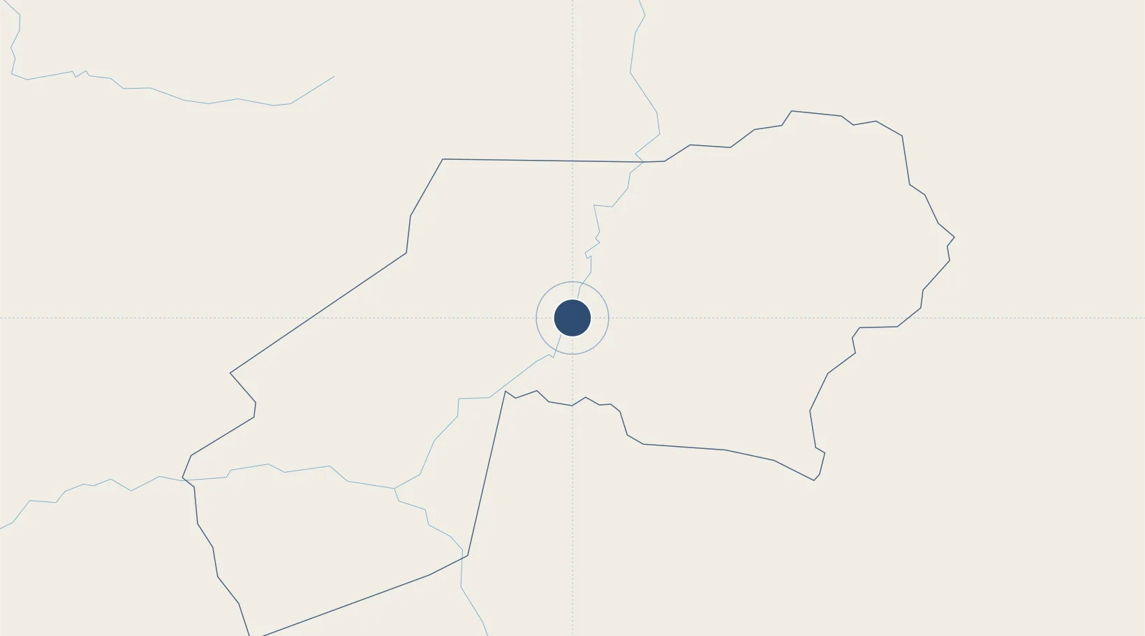
0.5792°, 12.8909°
5,892 ft
Longest runway
1
Runways
1,726 ft
Elevation
Runway & Layout

Radio Frequencies
AFIS
118.5 MHz
INFO
Navaids
KO NDB Makokou 271 kHz
Runways · 1
| Runway | Dimensions | Surface | True heading | Lit |
|---|---|---|---|---|
| 06/24 | 5,892 × 148ft | Asphalt | 058° | — |
Airport Specifications
IATA code
MKU
ICAO code
FOOK
Airport class
Medium airport
Scheduled service
Yes
Runway surface
Asphalt
Served city
Makokou
Location
Nearby Logistics Neighbours
Airports
- 1Okondja Airport163 km
- 2Oyem Airport181 km
- 3Koulamoutou Mabimbi Airport202 km
- 4Bitam Airport228 km
- 5President Obiang Nguema International Airport241 km
Ports
- 1Cogo359 km
- 2Bata376 km
- 3Port Owendo379 km
- 4Libreville383 km
- 5Ebome Marine Terminal422 km
Trade Zones
- 1Boumango Special Economic Zone322 km
- 2Nkok Special Economic Zone366 km
- 3Ouesso Special Economic Zone370 km
- 4Puerto de Bata Free Port376 km
- 5Owendo Mineral Port378 km
DatabookThe Record of Consolidated Knowledge
Gabon beyond logistics?