Medium airport · St. Helena
RAF Ascension IslandFHAW
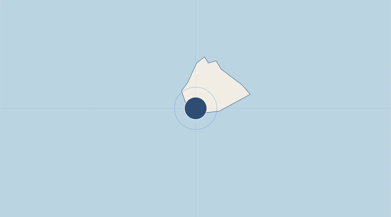
-7.9702°, -14.3927°
10,019 ft
Longest runway
1
Runways
278 ft
Elevation
Runway & Layout

Radio Frequencies
TWR
126.2 MHz
WIDEAWAKE TWR
A/G
1124.7 MHz
RAF HAVENS HF
ACC
1795.5 MHz
ATLANTICO FIR
RDO
1078 MHz
ASCENSION RDO
Navaids
ASI VORTAC Ascension Aux Af 112.20 MHz
ASN NDB Ascension Aux Af 360 kHz
Runways · 1
| Runway | Dimensions | Surface | True heading | Lit |
|---|---|---|---|---|
| 13/31 | 10,019 × 150ft | Asphalt | 117° | ✓ |
Airport Specifications
IATA code
ASI
ICAO code
FHAW
Airport class
Medium airport
Scheduled service
Yes
Runway surface
Asphalt
Served city
Cat Hill
Location
Nearby Logistics Neighbours
Airports
- 1Saint Helena International Airport1301 km
- 2Greenville/Sinoe Airport1562 km
- 3Spriggs Payne Airport1636 km
- 4Roberts International Airport1641 km
- 5San Pedro Airport1654 km
Cities
- 1Ascension5 km
- 2Katougouma892 km
- 3Rupert's Bay1294 km
- 4Harper1559 km
- 5River Cess1587 km
Ports
- 1Georgetown5 km
- 2Jamestown1292 km
- 3Greenville1558 km
- 4Cape Palmas1559 km
- 5Buchanan1612 km
Trade Zones
- 1Buchanan Special Economic Zone1618 km
- 2Freeport of Monrovia1641 km
- 3Monrovia Industrial Park1642 km
- 4San Pedro Economic Zone1658 km
- 5First Step Economic Opportunity Zone Newton1820 km
DatabookThe Record of Consolidated Knowledge
St. Helena beyond logistics?