Channel & Berth Profile
Pilotage, Tugs & Services
Pilotage compulsoryNO
Pilotage availableNO
Pilotage advisableYES
Local assistanceYES
Tug assistanceNO
Salvage tugsNO
Potable waterYES
Diesel bunkersNO
MedicalYES
Facilities & Capabilities
Container—
Ro-Ro—
Liquid bulk—
Dry bulk—
Oil terminal—
Break bulk—
Dry dock—
Repairs—
BunkeringNO
Rail link—
Dangerous cargo—
ISPS security—
Harbour Specifications
Harbour size
Large
Harbour type
Open Roadstead
Shelter
Poor
Water body
South Atlantic Ocean
Tidal range
1.1 m
Pilotage
No
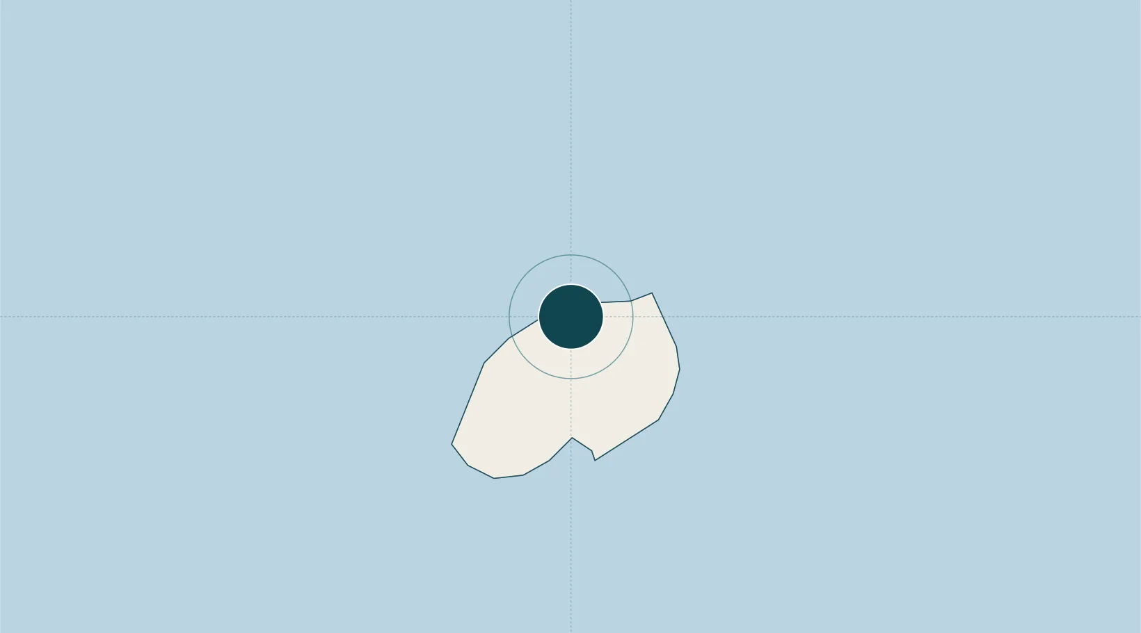
Location
Nearby Logistics Neighbours
Ports
- 1Georgetown1297 km
- 2Girassol Terminal2103 km
- 3Dalia Terminal2110 km
- 4Kuito Oil Field2208 km
- 5N'kossa Terminal2227 km
Cities
- 1Rupert's Bay2 km
- 2Namibe460 km
- 3Ascension1290 km
- 4Baía dos Tigres1864 km
- 5Porsuk1875 km
Airports
- 1Saint Helena International Airport9 km
- 2RAF Ascension Island1292 km
- 3Annobón Airport2037 km
- 4Gamba Airport2260 km
- 5São Tomé International Airport2268 km
Trade Zones
- 1Catumbela Industrial Development Pole2112 km
- 2Luanda-Bengo Special Economic Zone2214 km
- 3Viana Industrial Development Pole2217 km
- 4Malanza Free Zone2227 km
- 5Bunker Free Port2256 km
DatabookThe Record of Consolidated Knowledge
St. Helena beyond logistics?