Transport Functions
Port
Hub Profile
Region
HL
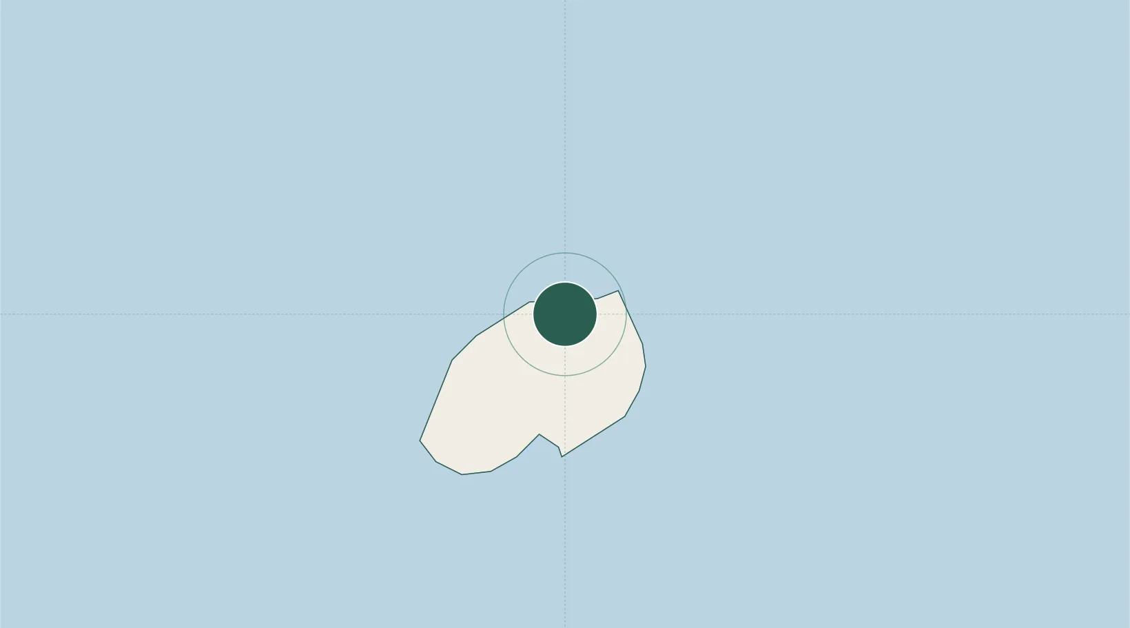
Location
Nearby Logistics Neighbours
Cities
- 1Namibe458 km
- 2Ascension1292 km
- 3Baía dos Tigres1862 km
- 4Porsuk1875 km
- 5Katougouma2019 km
Ports
- 1Jamestown2 km
- 2Georgetown1298 km
- 3Girassol Terminal2102 km
- 4Dalia Terminal2108 km
- 5Kuito Oil Field2207 km
Airports
- 1Saint Helena International Airport7 km
- 2RAF Ascension Island1294 km
- 3Annobón Airport2036 km
- 4Gamba Airport2259 km
- 5São Tomé International Airport2267 km
Trade Zones
- 1Catumbela Industrial Development Pole2110 km
- 2Luanda-Bengo Special Economic Zone2213 km
- 3Viana Industrial Development Pole2216 km
- 4Malanza Free Zone2226 km
- 5Bunker Free Port2255 km
DatabookThe Record of Consolidated Knowledge
St. Helena beyond logistics?