UN/LOCODE hub · Sweden
SELES

Lesjöfors

59.9667°, 14.1833°
2
Transport functions

Transport Functions

Rail
Road
UN/LOCODE

Hub Profile

Region
S
GeoNames

Location

Location of SELES
Natural Earth 10m (public domain) · S · SELES · 59.97, 14.18GoogleOSMYandex

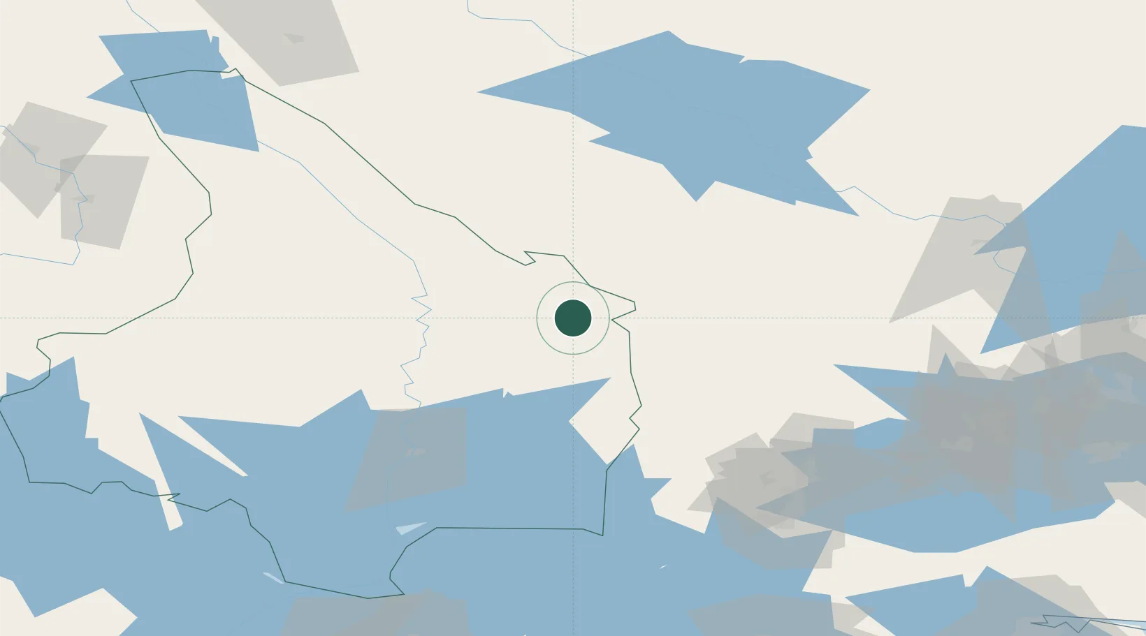
Nearby Logistics Neighbours

Cities
  1. 1Grythyttan36 km
  2. 2Grängesberg46 km
  3. 3Dala-Järna66 km
  4. 4Gyttorp67 km
  5. 5Skattkärr69 km
Nearest neighbours — logibook spatial index (haversine) over the source coordinates
Ports
  1. 1Vasteras138 km
  2. 2Gavle183 km
  3. 3Karskar188 km
  4. 4Norrkoping192 km
  5. 5Skutskar193 km
Nearest neighbours — logibook spatial index (haversine) over the source coordinates
Airports
  1. 1Hagfors Airport34 km
  2. 2Torsby Airport70 km
  3. 3Karlskoga Airport71 km
  4. 4Karlstad Airport75 km
  5. 5Dala Airport89 km
Nearest neighbours — logibook spatial index (haversine) over the source coordinates
Trade Zones
  1. 1Stockholm Free Zone231 km
  2. 2Jönköping Free Zone245 km
  3. 3Gothenburg Boundless Customs Warehouse286 km
  4. 4Freeport of Copenhagen- Nordhavn482 km
  5. 5MTS Malmö Transport and Spedition489 km
Nearest neighbours — logibook spatial index (haversine) over the source coordinates
DatabookThe Record of Consolidated Knowledge
Sweden beyond logistics?
Browse databook

All Sources

LocationsUN/LOCODE
UN/LOCODE — free
Portsthe NGA World Port Index
Public domain (US gov)
AirportsOurAirports
Public domain
Trade Zonesthe World Bank SEZ database
CC BY 4.0
Trade ZonesOpen Zone Map
CC BY
← Sweden locations