Transport Functions
Rail
Road
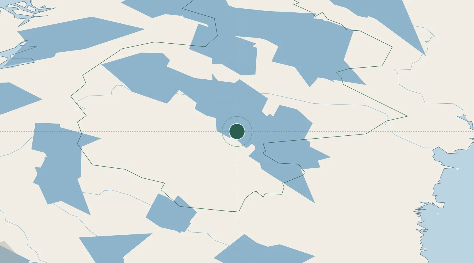
Hub Profile
Place type
Populated place
Region
Jämtland
Population
916
Time zone
Europe/Stockholm
Elevation
331 m
Location
Nearby Logistics Neighbours
Cities
- 1Hackås17 km
- 2Brunflo40 km
- 3Gällö43 km
- 4Bräcke49 km
- 5Dvaersaett61 km
Ports
- 1Vivstavarv152 km
- 2Sundsvall155 km
- 3Stockvik158 km
- 4Soraker159 km
- 5Bollstabruk167 km
Airports
- 1Åre Östersund Airport48 km
- 2Sveg Airport80 km
- 3Sundsvall-Härnösand Airport155 km
- 4Kramfors-Sollefteå Höga Kusten Airport171 km
- 5Scandinavian Mountains Airport197 km
Trade Zones
- 1Stockholm Free Zone428 km
- 2Turku Free Zone485 km
- 3Freeport of Hanko556 km
- 4Jönköping Free Zone556 km
- 5Gothenburg Boundless Customs Warehouse581 km
DatabookThe Record of Consolidated Knowledge
Sweden beyond logistics?