Transport Functions
Port
Rail
Road
Hub Profile
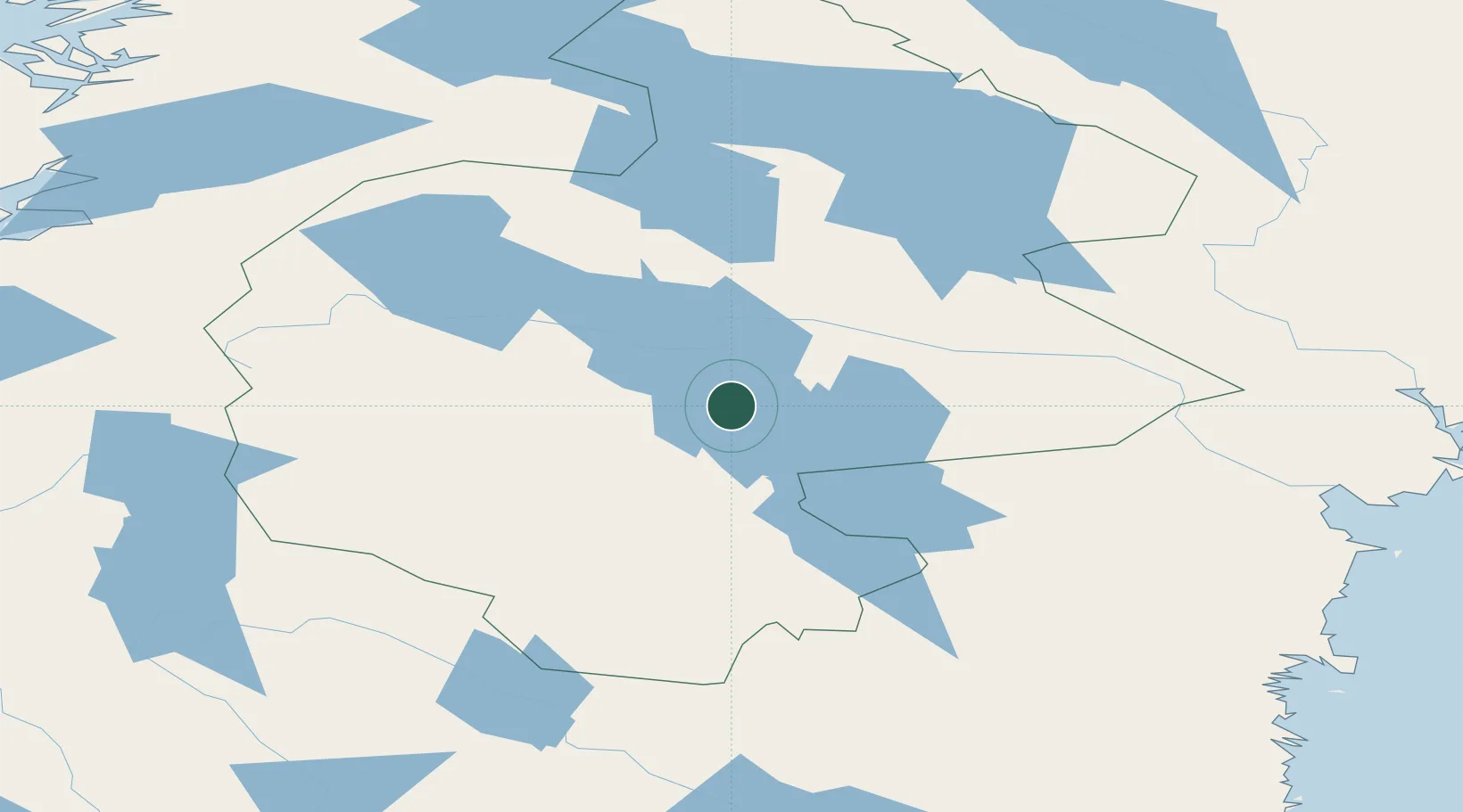
Place type
Populated place
Region
Jämtland
Population
531
Time zone
Europe/Stockholm
Elevation
326 m
Location
Nearby Logistics Neighbours
Cities
- 1Svenstavik17 km
- 2Brunflo24 km
- 3Gällö36 km
- 4Dvaersaett45 km
- 5Krokom47 km
Ports
- 1Vivstavarv152 km
- 2Sundsvall156 km
- 3Soraker159 km
- 4Stockvik160 km
- 5Bollstabruk161 km
Airports
- 1Åre Östersund Airport31 km
- 2Sveg Airport97 km
- 3Sundsvall-Härnösand Airport155 km
- 4Kramfors-Sollefteå Höga Kusten Airport165 km
- 5Scandinavian Mountains Airport214 km
Trade Zones
- 1Stockholm Free Zone441 km
- 2Turku Free Zone490 km
- 3Freeport of Hanko562 km
- 4Jönköping Free Zone573 km
- 5Gothenburg Boundless Customs Warehouse598 km
DatabookThe Record of Consolidated Knowledge
Sweden beyond logistics?