Large airport · United Kingdom

London Stansted AirportEGSS
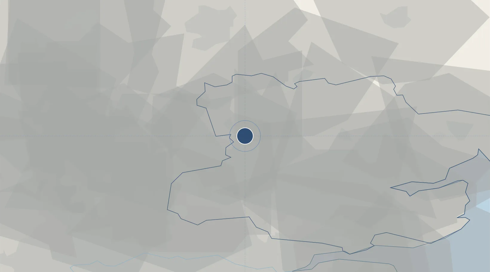
51.8850°, 0.2350°
10,003 ft
Longest runway
1
Runways
348 ft
Elevation

Runway & Layout

London Stansted Airport runway & taxiway layout
Runway & taxiway layout — OpenStreetMap (ODbL) / OurAirports

Radio Frequencies

ATIS
127.175 MHz
TWR
123.8 MHz
GND
121.725 MHz
CLD
121.95 MHz
CLNC DEL
APP
120.625 MHz
Stansted Radar
DIR
136.2 MHz
DIRECTOR
RDR
136.2 MHz
Director
OurAirports

Navaids

BKY VOR-DME Barkway 116.25 MHz
SSD NDB Stansted 429 kHz
OurAirports

Runways · 1

RunwayDimensions SurfaceTrue headingLit
04/22 10,003 × 151ft Asphalt 044°
OurAirports

Airport Specifications

IATA code
STN
OurAirports
ICAO code
EGSS
OurAirports
Airport class
Large airport
OurAirports
Scheduled service
Yes
OurAirports
Runway surface
Asphalt
OurAirports
Served city
London, Essex
OurAirports

Location

Location of EGSS
Natural Earth 10m (public domain) · Essex · EGSS · 51.88, 0.23GoogleOSMYandex

Nearby Logistics Neighbours

Airports
  1. 1Cambridge City Airport36 km
  2. 2London Luton Airport41 km
  3. 3London City Airport44 km
  4. 4London Southend Airport47 km
  5. 5RAF Mildenhall56 km
Nearest neighbours — logibook spatial index (haversine) over the source coordinates
Cities
  1. 1Debden9 km
  2. 2Widford10 km
  3. 3Felsted12 km
  4. 4Buntingford19 km
  5. 5Chipping Ongar21 km
Nearest neighbours — logibook spatial index (haversine) over the source coordinates
Ports
  1. 1Colchester47 km
  2. 2Tilbury47 km
  3. 3London48 km
  4. 4Gravesend49 km
  5. 5Chatham Docks58 km
Nearest neighbours — logibook spatial index (haversine) over the source coordinates
Trade Zones
  1. 1Harlow Enterprise Zone16 km
  2. 2New Anglia Enterprise Zone43 km
  3. 3Cambridge Compass Enterprise Zone45 km
  4. 4London Royal Docks Enterprise Zone45 km
  5. 5Port of Tilbury Free Zone48 km
Nearest neighbours — logibook spatial index (haversine) over the source coordinates
DatabookThe Record of Consolidated Knowledge
United Kingdom beyond logistics?
Browse databook

All Sources

AirportsOurAirports
Public domain
Portsthe NGA World Port Index
Public domain (US gov)
LocationsUN/LOCODE
UN/LOCODE — free
Trade Zonesthe World Bank SEZ database
CC BY 4.0
Trade ZonesOpen Zone Map
CC BY
InfrastructureOpenStreetMap
ODbL 1.0
← United Kingdom airports