Transport Functions
Multimodal
Hub Profile
Place type
Local administrative seat
Region
Thuringia
Population
1,594
Time zone
Europe/Berlin
Elevation
177 m
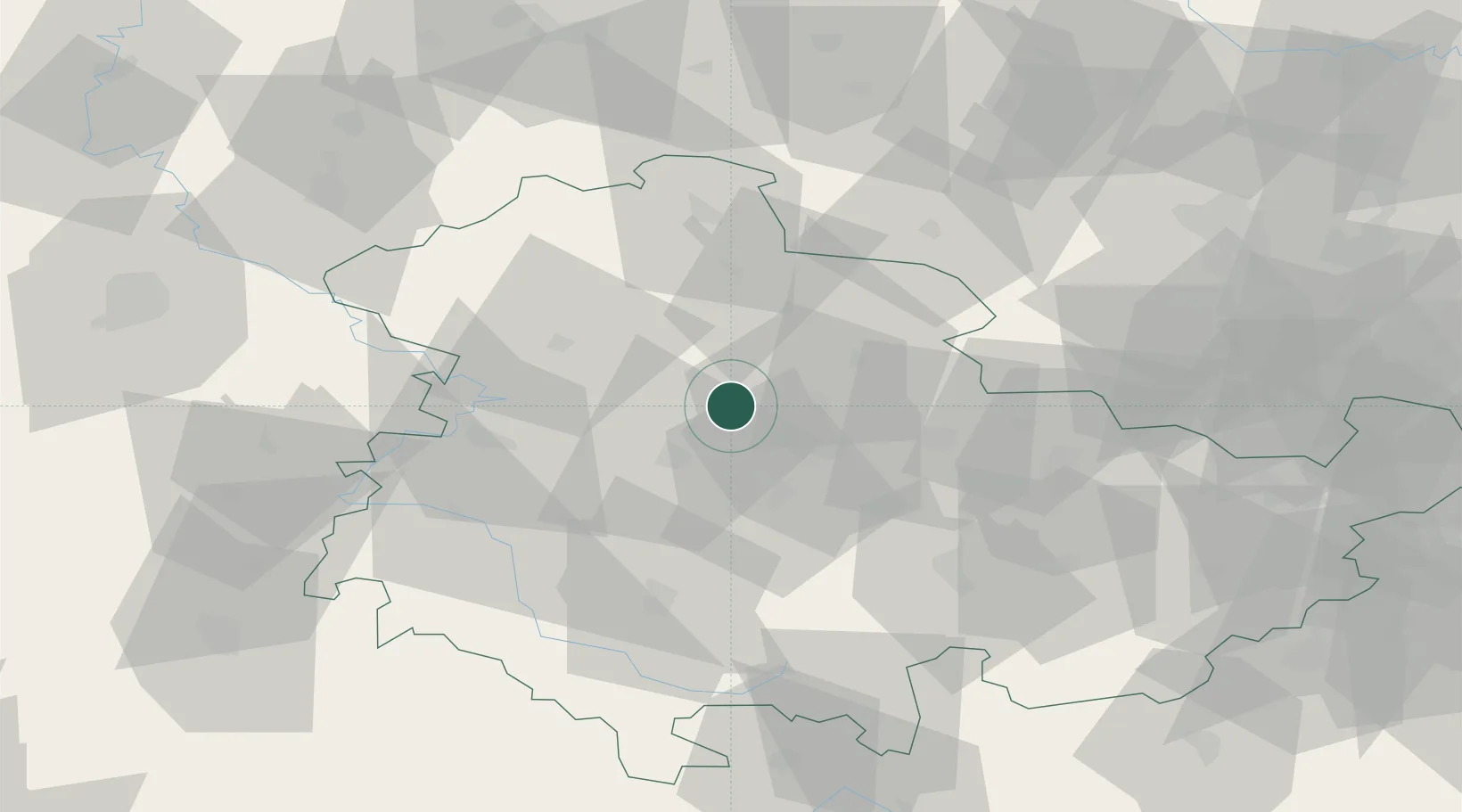
Location
Nearby Logistics Neighbours
Cities
- 1Herbsleben6 km
- 2Eschenbergen7 km
- 3Gebesee8 km
- 4Eckardtsleben12 km
- 5Aschara12 km
Airports
- 1Erfurt-Weimar Airport13 km
- 2Eisenach-Kindel Airport27 km
- 3Leipzig/Halle Airport104 km
- 4Kassel Airport109 km
- 5Fritzlar Army Airfield109 km
Trade Zones
DatabookThe Record of Consolidated Knowledge
Germany beyond logistics?