Diversified Zone · China

Dagang Economic Development Zone Active
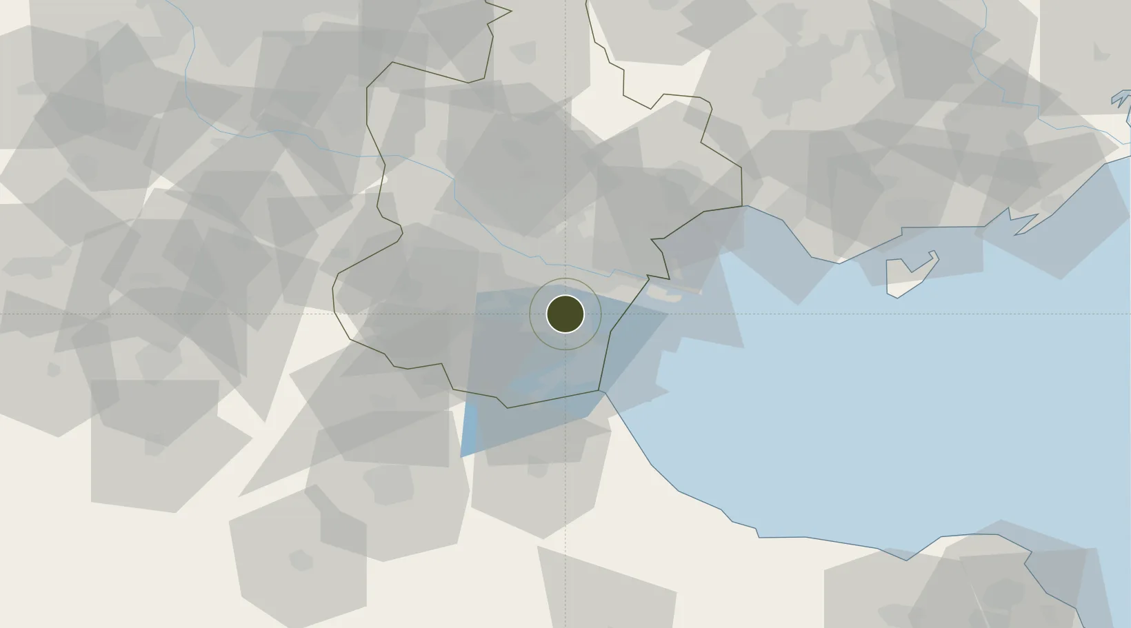
38.8683°, 117.4372°
601 ha
Zone area
36.0 km
Nearest port
29.5 km
Nearest airport

Gateway access

Nearest neighbours — logibook spatial index (haversine) over the source coordinates

Zone profile

Zone type
Diversified Zone
Open Zone Map
Region
Tianjin
Open Zone Map
Status
Active
Open Zone Map
Management
Public
Open Zone Map
Operator
Management Committee of Dagang Economic Development Zone
Open Zone Map
Legal framework
It was established on November 6, 1979 with the approval of the State Council
Open Zone Map

Location

Location of ozm-571
Natural Earth 10m (public domain) · Tianjin · ozm-571 · 38.87, 117.44GoogleOSMYandex

Nearby Logistics Neighbours

Ports
  1. 1Tianjin Xin Gang36 km
  2. 2Tangshan (Jingtang)141 km
  3. 3Qinhuangdao222 km
  4. 4Longkou Gang284 km
  5. 5Penglai318 km
Nearest neighbours — logibook spatial index (haversine) over the source coordinates
Airports
  1. 1Tianjin Binhai International Airport30 km
  2. 2Tangguantun Air Base33 km
  3. 3Yangcun Air Base63 km
  4. 4Cangxian Air Base68 km
  5. 5Tangshan Sannühe Airport106 km
Nearest neighbours — logibook spatial index (haversine) over the source coordinates
Cities
  1. 1Tanggu25 km
  2. 2Dongli ,Tianjing27 km
  3. 3Tianjin Pt30 km
  4. 4Tianjin30 km
  5. 5Binhai32 km
Nearest neighbours — logibook spatial index (haversine) over the source coordinates
Trade Zones
  1. 1Dagang Petrochemical Industrial Park6 km
  2. 2Jinnan Economic Development Zone14 km
  3. 3Junliangcheng Industrial Park20 km
  4. 4Tianjin High-tech Industrial Development Zone28 km
  5. 5Daqiuzhuang Industrial Zone33 km
Nearest neighbours — logibook spatial index (haversine) over the source coordinates
DatabookThe Record of Consolidated Knowledge
China beyond logistics?
Browse databook

All Sources

Trade ZonesOpen Zone Map
CC BY
Portsthe NGA World Port Index
Public domain (US gov)
AirportsOurAirports
Public domain
LocationsUN/LOCODE
UN/LOCODE — free
← China trade zones