Small airport · Canada

Charlottetown AirportCCH4
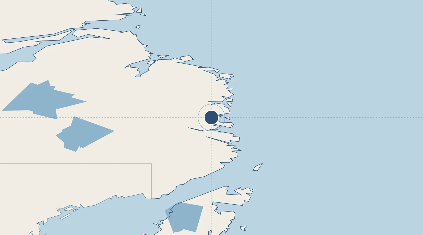
52.7658°, -56.1124°
2,500 ft
Longest runway
1
Runways
209 ft
Elevation

Runway & Layout

Charlottetown Airport runway & taxiway layout
Runway & taxiway layout — OpenStreetMap (ODbL) / OurAirports

Navaids

1D NDB Charlottetown 346 kHz
OurAirports

Runways · 1

RunwayDimensions SurfaceTrue headingLit
09/27 2,500 × —ft Unknown
OurAirports

Airport Specifications

IATA code
YHG
OurAirports
ICAO code
CCH4
OurAirports
Airport class
Small airport
OurAirports
Scheduled service
Yes
OurAirports
Runway surface
Unknown
OurAirports
Served city
Charlottetown
OurAirports

Location

Location of CCH4
Natural Earth 10m (public domain) · Newfoundland and Labrador · CCH4 · 52.77, -56.11GoogleOSMYandex

Nearby Logistics Neighbours

Airports
  1. 1Port Hope Simpson Airport29 km
  2. 2Williams Harbour Airport31 km
  3. 3St. Lewis (Fox Harbour) Airport53 km
  4. 4Mary's Harbour Airport55 km
  5. 5Black Tickle Airport81 km
Nearest neighbours — logibook spatial index (haversine) over the source coordinates
Cities
  1. 1Williams Harbour33 km
  2. 2Mary's Harbour53 km
  3. 3Red Bay117 km
  4. 4L'Anse-au-Loup147 km
  5. 5Saint-Anthony158 km
Nearest neighbours — logibook spatial index (haversine) over the source coordinates
Ports
  1. 1St Anthony160 km
  2. 2Blanc Sablon165 km
  3. 3Roddickton211 km
  4. 4Goose Bay288 km
  5. 5Baie Verte317 km
Nearest neighbours — logibook spatial index (haversine) over the source coordinates
Trade Zones
  1. 1Crossroads Business Park438 km
  2. 2Cape Breton Regional Municipality Foreign Trade Zone806 km
  3. 3Halifax Gateway1055 km
  4. 4FTZ No. 179 Madawaska1063 km
  5. 5Saint John1103 km
Nearest neighbours — logibook spatial index (haversine) over the source coordinates
DatabookThe Record of Consolidated Knowledge
Canada beyond logistics?
Browse databook

All Sources

AirportsOurAirports
Public domain
Portsthe NGA World Port Index
Public domain (US gov)
LocationsUN/LOCODE
UN/LOCODE — free
Trade Zonesthe World Bank SEZ database
CC BY 4.0
Trade ZonesOpen Zone Map
CC BY
InfrastructureOpenStreetMap
ODbL 1.0
← Canada airports