Small airport · Canada
Black Tickle AirportCCE4
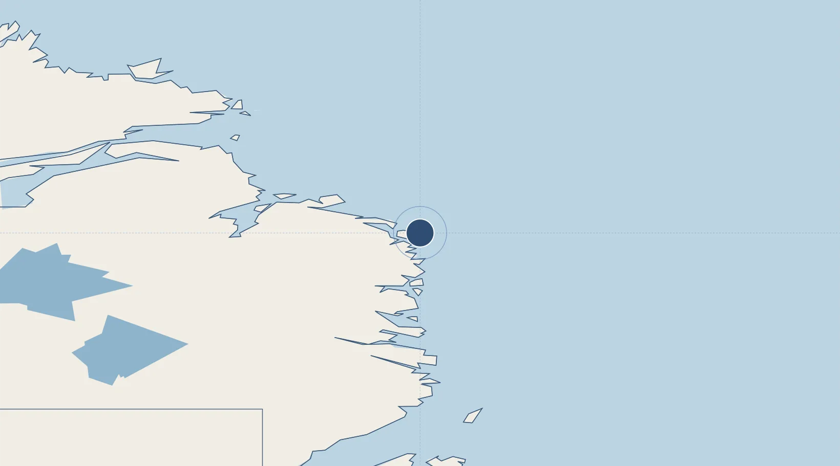
53.4698°, -55.7875°
2,500 ft
Longest runway
1
Runways
57 ft
Elevation
Runway & Layout

Navaids
1E NDB Black Tickle 349 kHz
Runways · 1
| Runway | Dimensions | Surface | True heading | Lit |
|---|---|---|---|---|
| 16/34 | 2,500 × 75ft | GRAVEL | — | — |
Airport Specifications
IATA code
YBI
ICAO code
CCE4
Airport class
Small airport
Scheduled service
Yes
Runway surface
GRAVEL
Served city
Black Tickle
Location
Nearby Logistics Neighbours
Airports
- 1Charlottetown Airport81 km
- 2Cartwright Airport86 km
- 3Williams Harbour Airport100 km
- 4Port Hope Simpson Airport110 km
- 5St. Lewis (Fox Harbour) Airport122 km
Cities
- 1Williams Harbour102 km
- 2Mary's Harbour128 km
- 3Red Bay198 km
- 4L'Anse-au-Loup228 km
- 5Saint-Anthony232 km
Ports
- 1St Anthony234 km
- 2Blanc Sablon246 km
- 3Roddickton290 km
- 4Goose Bay299 km
- 5Baie Verte396 km
Trade Zones
- 1Crossroads Business Park510 km
- 2Cape Breton Regional Municipality Foreign Trade Zone886 km
- 3FTZ No. 179 Madawaska1123 km
- 4Halifax Gateway1132 km
- 5Saint John1174 km
DatabookThe Record of Consolidated Knowledge
Canada beyond logistics?