Small airport · Canada
Williams Harbour AirportCCA6
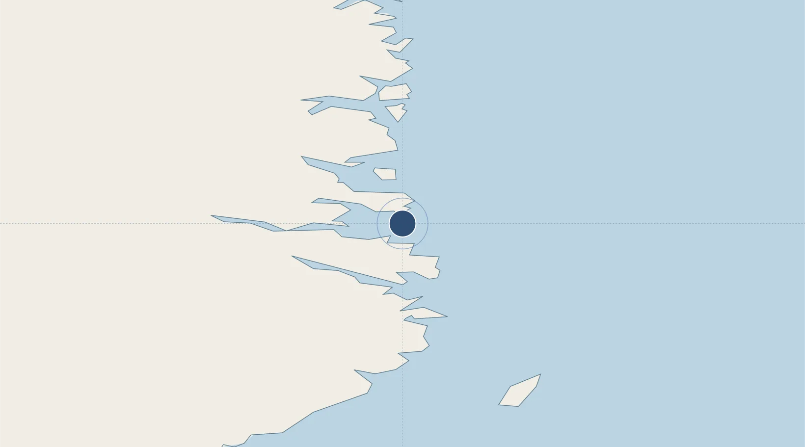
52.5674°, -55.7849°
2,200 ft
Longest runway
1
Runways
70 ft
Elevation
Runway & Layout

Navaids
1A NDB Williams Harbour 373 kHz
Runways · 1
| Runway | Dimensions | Surface | True heading | Lit |
|---|---|---|---|---|
| 14/32 | 2,200 × 75ft | GRAVEL | — | — |
Airport Specifications
IATA code
YWM
ICAO code
CCA6
Airport class
Small airport
Scheduled service
Yes
Runway surface
GRAVEL
Served city
Williams Harbour
Location
Nearby Logistics Neighbours
Airports
- 1St. Lewis (Fox Harbour) Airport23 km
- 2Mary's Harbour Airport30 km
- 3Charlottetown Airport31 km
- 4Port Hope Simpson Airport34 km
- 5Black Tickle Airport100 km
Cities
- 1Williams Harbour2 km
- 2Mary's Harbour28 km
- 3Red Bay102 km
- 4Saint-Anthony132 km
- 5L'Anse-au-Loup137 km
Ports
- 1St Anthony134 km
- 2Blanc Sablon158 km
- 3Roddickton191 km
- 4Baie Verte296 km
- 5Goose Bay315 km
Trade Zones
- 1Crossroads Business Park412 km
- 2Cape Breton Regional Municipality Foreign Trade Zone797 km
- 3Halifax Gateway1049 km
- 4FTZ No. 179 Madawaska1072 km
- 5Saint John1103 km
DatabookThe Record of Consolidated Knowledge
Canada beyond logistics?