Runway & Layout

Airport Specifications
IATA code
QRY
ICAO code
BGIK
Airport class
Heliport
Scheduled service
Yes
Served city
Ikerassaarsuk
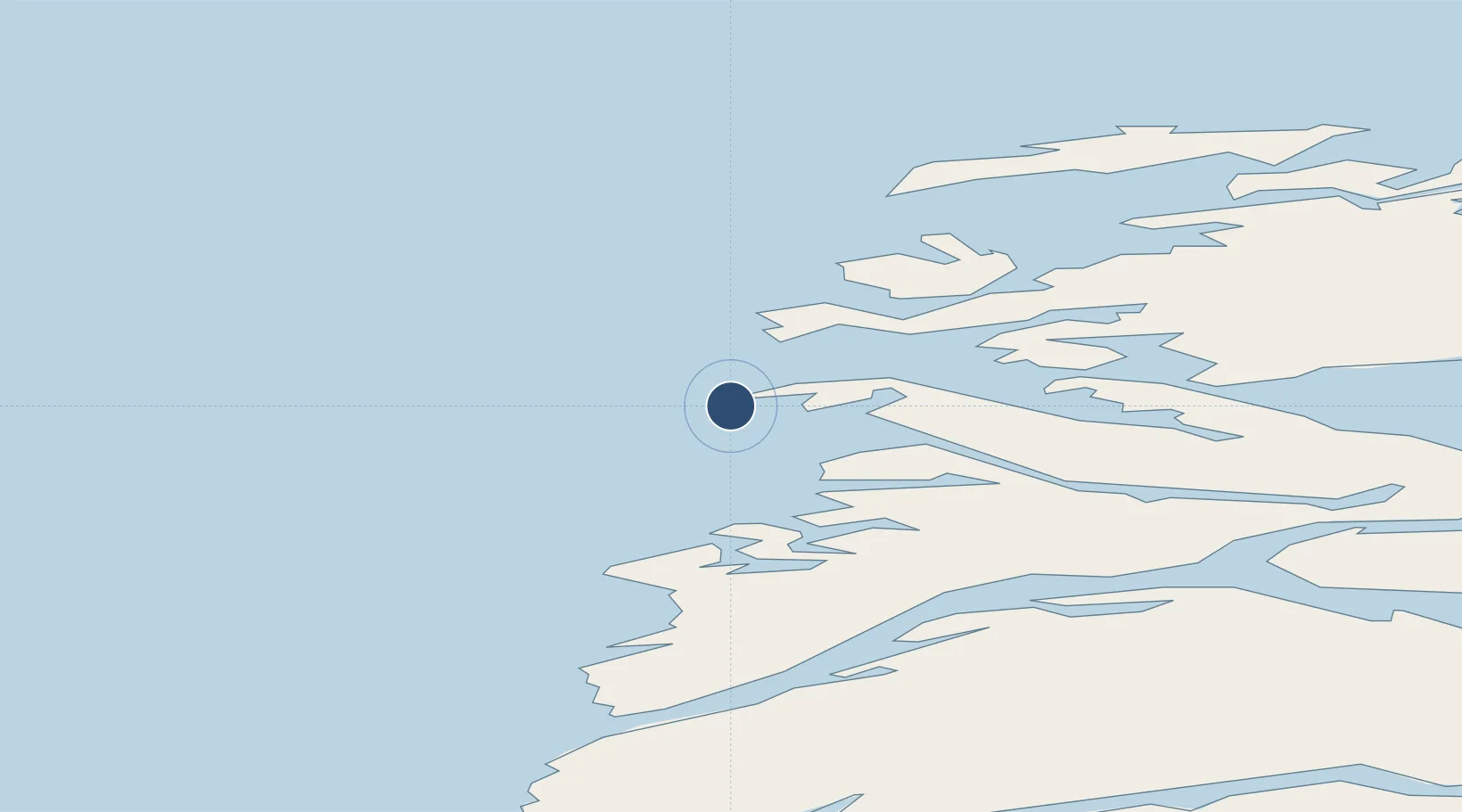
Location
Nearby Logistics Neighbours
Airports
- 1Iginniarfik Heliport11 km
- 2Kangaatsiaq Heliport19 km
- 3Attu Heliport24 km
- 4Niaqornaarsuk Heliport27 km
- 5Aasiaat Airport70 km
Cities
- 1Kangerlussuaq Havn169 km
- 2Maarmorliik343 km
- 3Seqi Olivine Mine363 km
- 4Toqqusaq368 km
- 5Nuuk (Godthaab)447 km
Ports
- 1Aasiaat68 km
- 2Qasigiannguit-Christianshab119 km
- 3Qeqertarsuaq122 km
- 4Sisimiut137 km
- 5Illulissat (Jakobshavn)153 km
Trade Zones
- 1Crossroads Business Park2135 km
- 2FTZ No. 179 Madawaska2467 km
- 3Cape Breton Regional Municipality Foreign Trade Zone2479 km
- 4Québec City FTZ2575 km
- 5Saint John2645 km
DatabookThe Record of Consolidated Knowledge
Greenland beyond logistics?