Runway & Layout

Airport Specifications
IATA code
QFI
ICAO code
BGIG
Airport class
Heliport
Scheduled service
Yes
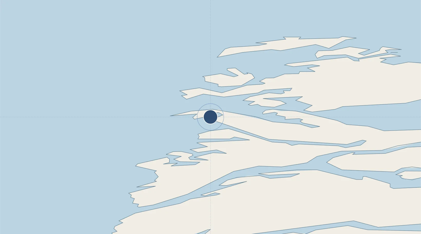
Served city
Iginniarfik
Location
Nearby Logistics Neighbours
Airports
- 1Ikerassaarsuk Heliport11 km
- 2Niaqornaarsuk Heliport17 km
- 3Kangaatsiaq Heliport22 km
- 4Attu Heliport30 km
- 5Aasiaat Airport66 km
Cities
- 1Kangerlussuaq Havn162 km
- 2Maarmorliik340 km
- 3Seqi Olivine Mine361 km
- 4Toqqusaq367 km
- 5Nuuk (Godthaab)445 km
Ports
- 1Aasiaat64 km
- 2Qasigiannguit-Christianshab110 km
- 3Qeqertarsuaq122 km
- 4Sisimiut139 km
- 5Illulissat (Jakobshavn)146 km
Trade Zones
- 1Crossroads Business Park2136 km
- 2FTZ No. 179 Madawaska2473 km
- 3Cape Breton Regional Municipality Foreign Trade Zone2482 km
- 4Québec City FTZ2582 km
- 5Saint John2650 km
DatabookThe Record of Consolidated Knowledge
Greenland beyond logistics?