Runway & Layout

Airport Specifications
IATA code
QPW
ICAO code
BGKA
Airport class
Heliport
Scheduled service
Yes
Served city
Kangaatsiaq
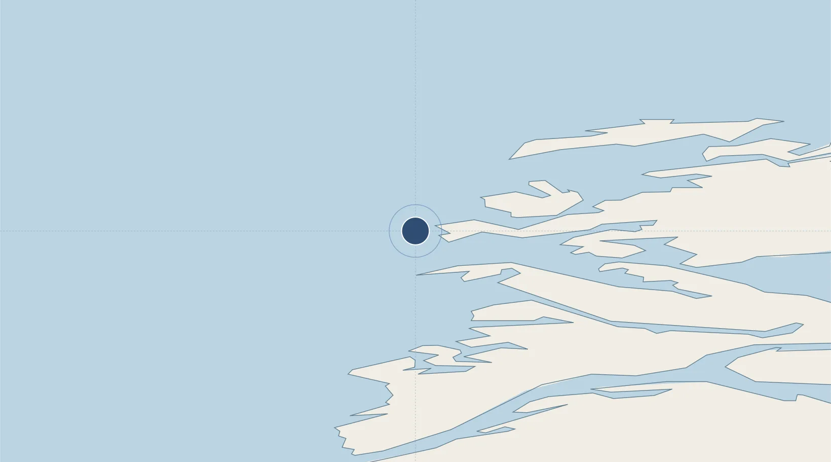
Location
Nearby Logistics Neighbours
Airports
- 1Ikerassaarsuk Heliport19 km
- 2Iginniarfik Heliport22 km
- 3Niaqornaarsuk Heliport26 km
- 4Attu Heliport42 km
- 5Aasiaat Airport53 km
Cities
- 1Kangerlussuaq Havn184 km
- 2Maarmorliik325 km
- 3Seqi Olivine Mine381 km
- 4Toqqusaq387 km
- 5Nuuk (Godthaab)466 km
Ports
- 1Aasiaat50 km
- 2Qeqertarsuaq102 km
- 3Qasigiannguit-Christianshab108 km
- 4Illulissat (Jakobshavn)138 km
- 5Sisimiut156 km
Trade Zones
- 1Crossroads Business Park2154 km
- 2FTZ No. 179 Madawaska2484 km
- 3Cape Breton Regional Municipality Foreign Trade Zone2497 km
- 4Québec City FTZ2591 km
- 5Saint John2662 km
DatabookThe Record of Consolidated Knowledge
Greenland beyond logistics?