Runway & Layout

Airport Specifications
IATA code
JGO
ICAO code
BGGN
Airport class
Heliport
Scheduled service
Yes
Served city
Qeqertarsuaq
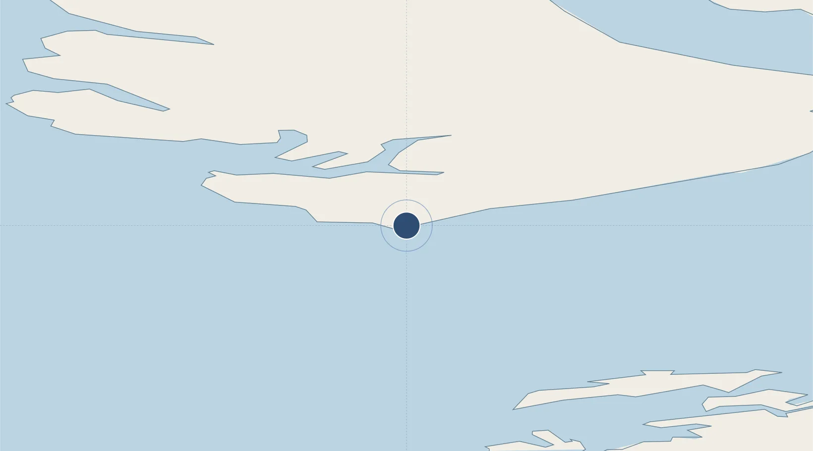
Location
Nearby Logistics Neighbours
Airports
- 1Kitsissuarsuit Heliport46 km
- 2Aasiaat Airport66 km
- 3Akunnaaq Heliport73 km
- 4Ikamiut Heliport96 km
- 5Ilimanaq Heliport97 km
Cities
- 1Maarmorliik226 km
- 2Kangerlussuaq Havn276 km
- 3Seqi Olivine Mine484 km
- 4Toqqusaq491 km
- 5Nuuk (Godthaab)569 km
Ports
- 1Qeqertarsuaq2 km
- 2Aasiaat65 km
- 3Illulissat (Jakobshavn)95 km
- 4Qasigiannguit-Christianshab105 km
- 5Uummannaq166 km
Trade Zones
- 1Crossroads Business Park2259 km
- 2FTZ No. 179 Madawaska2576 km
- 3Cape Breton Regional Municipality Foreign Trade Zone2598 km
- 4Québec City FTZ2679 km
- 5Saint John2758 km
DatabookThe Record of Consolidated Knowledge
Greenland beyond logistics?