Runway & Layout

Airport Specifications
IATA code
XIQ
ICAO code
BGIL
Airport class
Heliport
Scheduled service
Yes
Served city
Ilimanaq
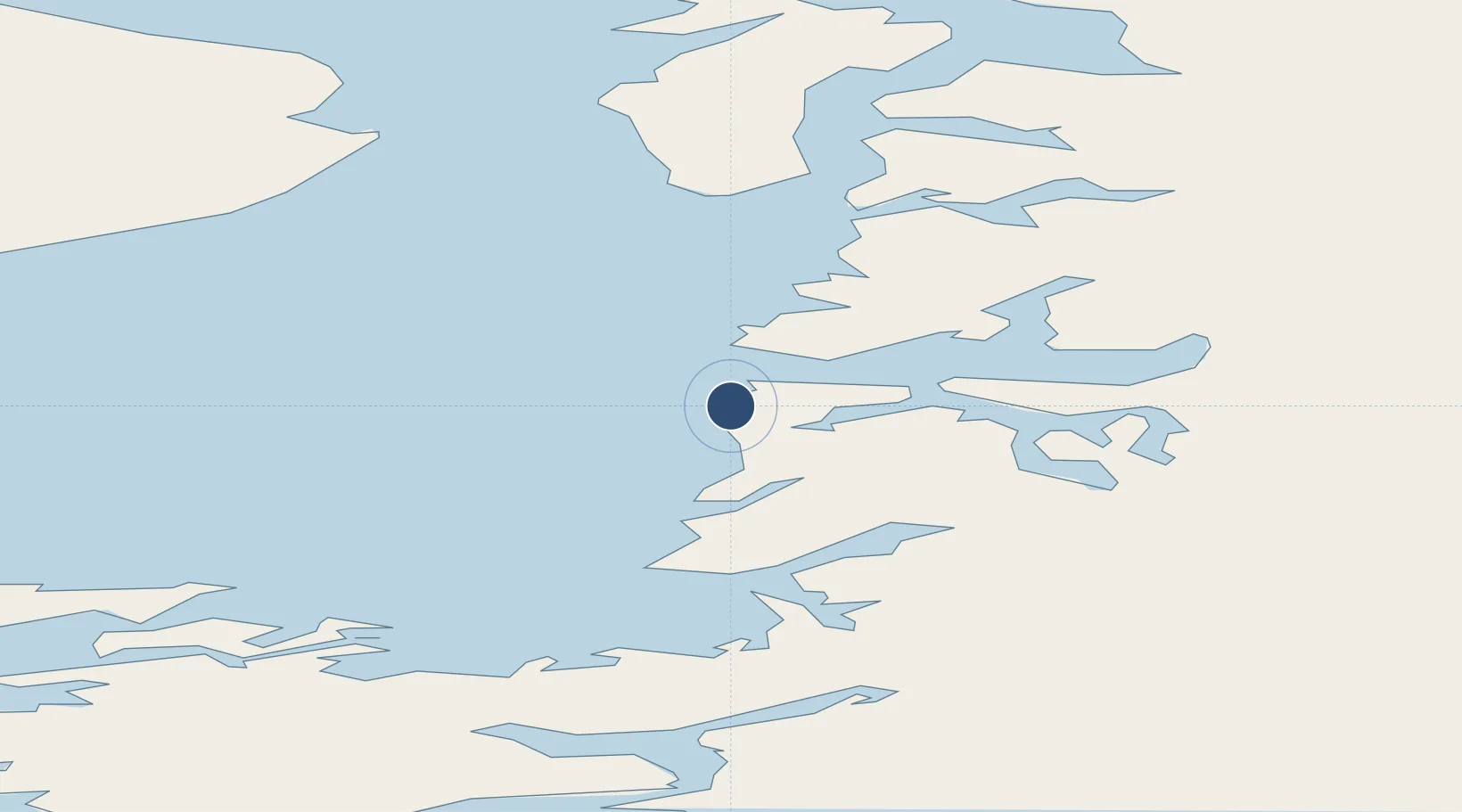
Location
Nearby Logistics Neighbours
Airports
- 1Ilulissat Airport18 km
- 2Qasigiannguit Heliport29 km
- 3Ikamiut Heliport57 km
- 4Akunnaaq Heliport62 km
- 5Aasiaat Airport78 km
Cities
- 1Maarmorliik228 km
- 2Kangerlussuaq Havn235 km
- 3Seqi Olivine Mine458 km
- 4Toqqusaq471 km
- 5Nuuk (Godthaab)545 km
Ports
- 1Illulissat (Jakobshavn)15 km
- 2Qasigiannguit-Christianshab30 km
- 3Aasiaat81 km
- 4Qeqertarsuaq97 km
- 5Uummannaq180 km
Trade Zones
- 1Crossroads Business Park2247 km
- 2FTZ No. 179 Madawaska2604 km
- 3Cape Breton Regional Municipality Foreign Trade Zone2604 km
- 4Québec City FTZ2715 km
- 5Saint John2779 km
DatabookThe Record of Consolidated Knowledge
Greenland beyond logistics?