Diversified Zone · China
Sui County Industrial Cluster Active
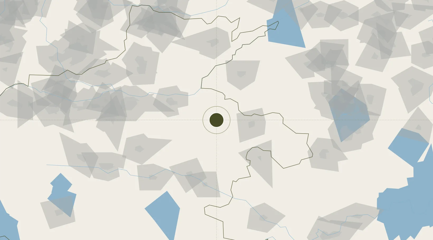
34.5011°, 115.0839°
1,969 ha
Zone area
396.3 km
Nearest port
34.9 km
Nearest airport
Gateway access
Zone profile
Zone type
Diversified Zone
Region
Henan
Status
Active
Management
Public
Operator
Sui County Industrial Cluster Management Committee
Legal framework
Regulations on Taxation Policies of National High-Tech Industrial Development Zones Approved by State Council of the People's Republic of China Mar 6, 1991; Administrative Measures for the Recognition of High-tech Enterprises; Ministry of Science and Tech
Location
Nearby Logistics Neighbours
Ports
- 1Lanshan396 km
- 2Lianyungang400 km
- 3Rizhao420 km
- 4Nanjing434 km
- 5Hankow442 km
Airports
- 1Shangqiu Air Base35 km
- 2Kaifeng Air Base74 km
- 3Heze Mudan Airport99 km
- 4Zhengzhou Xinzheng International Airport113 km
- 5Zhengzhou Air Base130 km
Cities
- 1Heze58 km
- 2Qingguji / Shangqiu66 km
- 3Kaifeng76 km
- 4Zhoukou107 km
- 5Zhengzhoudong Railway Station124 km
DatabookThe Record of Consolidated Knowledge
China beyond logistics?