Diversified Zone · China

Zhijiang Economic and Technological Development Zone Active
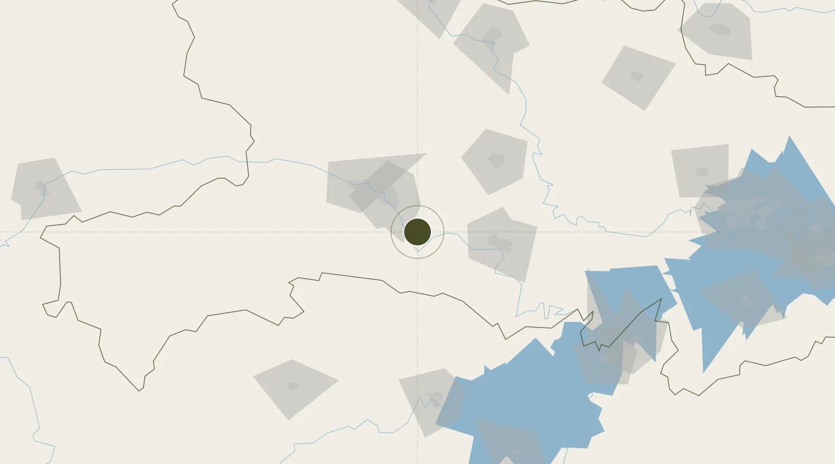
30.4377°, 111.5429°
1,880 ha
Zone area
263.0 km
Nearest port
14.2 km
Nearest airport

Gateway access

Nearest neighbours — logibook spatial index (haversine) over the source coordinates

Zone profile

Zone type
Diversified Zone
Open Zone Map
Region
Hubei
Open Zone Map
Status
Active
Open Zone Map
Management
Public
Open Zone Map
Operator
Zhijiang Economic and Technological Development Zone Management Committee
Open Zone Map
Legal framework
It was founded in 1992
Open Zone Map

Location

Location of ozm-808
Natural Earth 10m (public domain) · Hubei · ozm-808 · 30.44, 111.54GoogleOSMYandex

Nearby Logistics Neighbours

Ports
  1. 1Hankow263 km
  2. 2Nanjing709 km
  3. 3Zhenjiang775 km
  4. 4Yangzhou776 km
  5. 5Gaogang815 km
Nearest neighbours — logibook spatial index (haversine) over the source coordinates
Airports
  1. 1Yichang Sanxia Airport14 km
  2. 2Dangyang Air Base48 km
  3. 3Jingzhou Shashi Airport88 km
  4. 4Changde Taohuayuan Airport169 km
  5. 5Shennongjia Hongping Airport175 km
Nearest neighbours — logibook spatial index (haversine) over the source coordinates
Cities
  1. 1Baiyang3 km
  2. 2Jingzhou Pt71 km
  3. 3Badong129 km
  4. 4Changde161 km
  5. 5Zhangjiajie183 km
Nearest neighbours — logibook spatial index (haversine) over the source coordinates
Trade Zones
  1. 1Wufeng Industrial Park4 km
  2. 2Yidu High-tech Industrial Park38 km
  3. 3Dianjun Industrial Park39 km
  4. 4Yiling Economic Development Zone44 km
  5. 5Dangyang Economic Development Zone52 km
Nearest neighbours — logibook spatial index (haversine) over the source coordinates
DatabookThe Record of Consolidated Knowledge
China beyond logistics?
Browse databook

All Sources

Trade ZonesOpen Zone Map
CC BY
Portsthe NGA World Port Index
Public domain (US gov)
AirportsOurAirports
Public domain
LocationsUN/LOCODE
UN/LOCODE — free
← China trade zones