Export Processing Zone · China

Dianjun Industrial Park Active
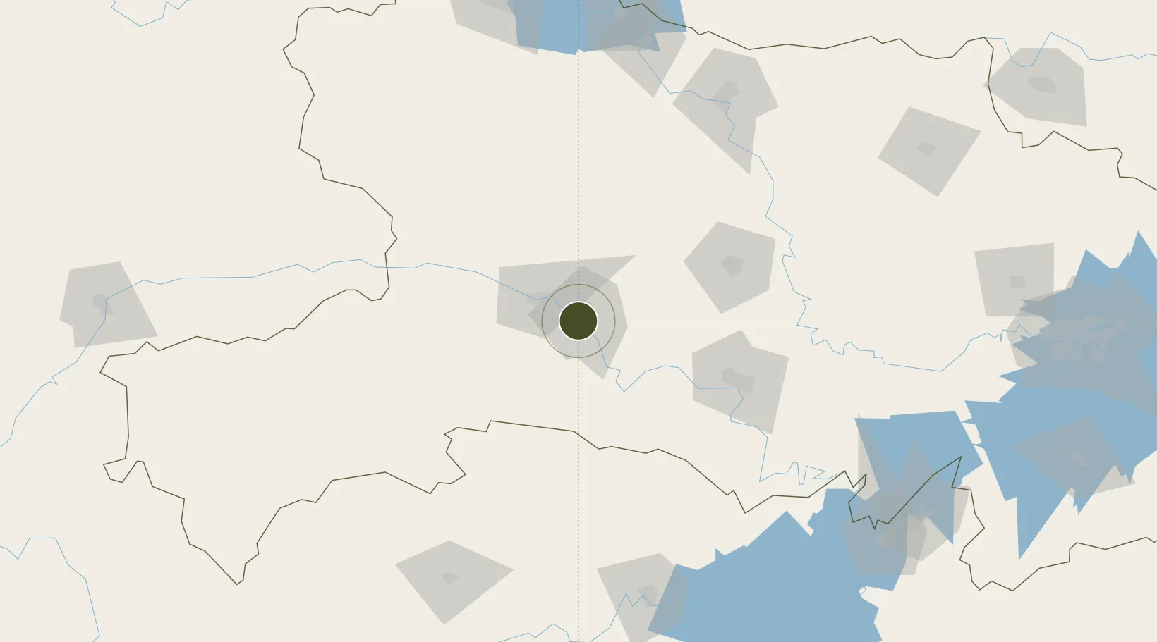
30.7006°, 111.2736°
1,000 ha
Zone area
288.2 km
Nearest port
25.8 km
Nearest airport

Gateway access

Nearest neighbours — logibook spatial index (haversine) over the source coordinates

Zone profile

Zone type
Export Processing Zone
Open Zone Map
Region
Hubei
Open Zone Map
Status
Active
Open Zone Map
Management
Public
Open Zone Map
Operator
Working Committee of Dianjun Industrial Park
Open Zone Map
Legal framework
The overall plan of the Sustainable Development Experimental Area of yichang City, Hubei Province
Open Zone Map

Location

Location of ozm-1258
Natural Earth 10m (public domain) · Hubei · ozm-1258 · 30.70, 111.27GoogleOSMYandex

Nearby Logistics Neighbours

Ports
  1. 1Hankow288 km
  2. 2Nanjing726 km
  3. 3Zhenjiang792 km
  4. 4Yangzhou793 km
  5. 5Gaogang832 km
Nearest neighbours — logibook spatial index (haversine) over the source coordinates
Airports
  1. 1Yichang Sanxia Airport26 km
  2. 2Dangyang Air Base52 km
  3. 3Jingzhou Shashi Airport121 km
  4. 4Shennongjia Hongping Airport136 km
  5. 5Chongqing Wushan Airport155 km
Nearest neighbours — logibook spatial index (haversine) over the source coordinates
Cities
  1. 1Baiyang38 km
  2. 2Badong93 km
  3. 3Jingzhou Pt105 km
  4. 4Xiangfan169 km
  5. 5Enshi178 km
Nearest neighbours — logibook spatial index (haversine) over the source coordinates
Trade Zones
  1. 1Yidu High-tech Industrial Park7 km
  2. 2Yiling Economic Development Zone15 km
  3. 3Wufeng Industrial Park35 km
  4. 4Zhijiang Economic and Technological Development Zone39 km
  5. 5Yuanan Industrial Park53 km
Nearest neighbours — logibook spatial index (haversine) over the source coordinates
DatabookThe Record of Consolidated Knowledge
China beyond logistics?
Browse databook

All Sources

Trade ZonesOpen Zone Map
CC BY
Portsthe NGA World Port Index
Public domain (US gov)
AirportsOurAirports
Public domain
LocationsUN/LOCODE
UN/LOCODE — free
← China trade zones