Export Processing Zone · China

Wufeng Industrial Park Active
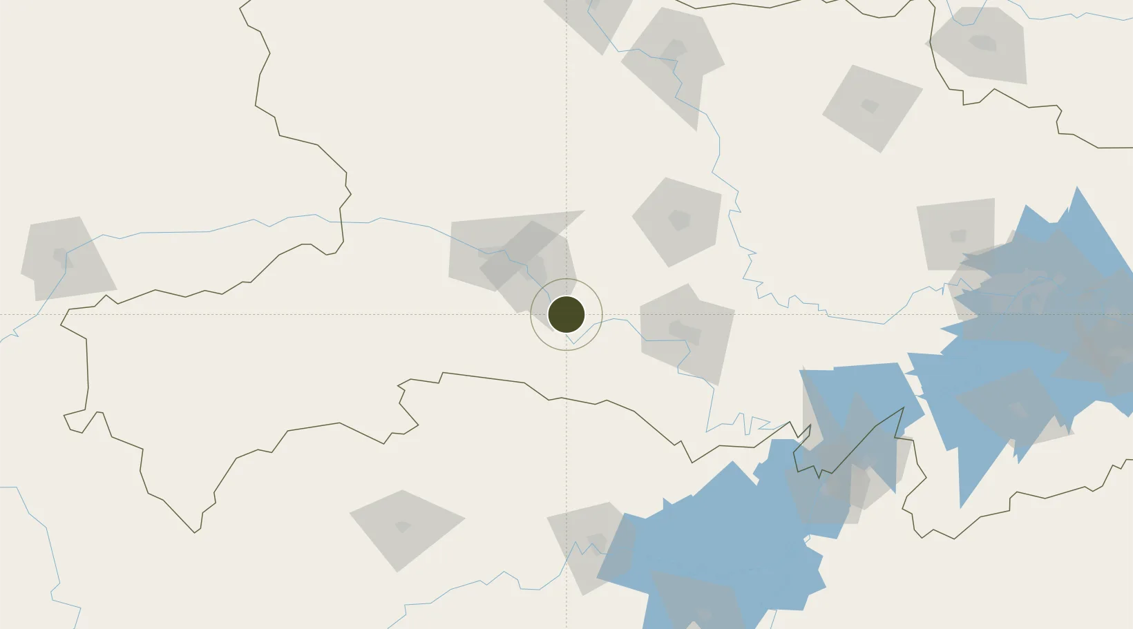
30.4541°, 111.5059°
871 ha
Zone area
266.4 km
Nearest port
11.3 km
Nearest airport

Gateway access

Nearest neighbours — logibook spatial index (haversine) over the source coordinates

Zone profile

Zone type
Export Processing Zone
Open Zone Map
Region
Hubei
Open Zone Map
Status
Active
Open Zone Map
Management
Public
Open Zone Map
Operator
Working Committee of Wufeng Industrial Park
Open Zone Map
Legal framework
Approval of preliminary design of infrastructure construction project of Wufeng National Industrial Park --
Open Zone Map

Location

Location of ozm-1233
Natural Earth 10m (public domain) · Hubei · ozm-1233 · 30.45, 111.51GoogleOSMYandex

Nearby Logistics Neighbours

Ports
  1. 1Hankow266 km
  2. 2Nanjing712 km
  3. 3Zhenjiang778 km
  4. 4Yangzhou779 km
  5. 5Gaogang818 km
Nearest neighbours — logibook spatial index (haversine) over the source coordinates
Airports
  1. 1Yichang Sanxia Airport11 km
  2. 2Dangyang Air Base48 km
  3. 3Jingzhou Shashi Airport92 km
  4. 4Changde Taohuayuan Airport171 km
  5. 5Shennongjia Hongping Airport171 km
Nearest neighbours — logibook spatial index (haversine) over the source coordinates
Cities
  1. 1Baiyang3 km
  2. 2Jingzhou Pt75 km
  3. 3Badong125 km
  4. 4Changde163 km
  5. 5Zhangjiajie183 km
Nearest neighbours — logibook spatial index (haversine) over the source coordinates
Trade Zones
  1. 1Zhijiang Economic and Technological Development Zone4 km
  2. 2Yidu High-tech Industrial Park34 km
  3. 3Dianjun Industrial Park35 km
  4. 4Yiling Economic Development Zone41 km
  5. 5Dangyang Economic Development Zone52 km
Nearest neighbours — logibook spatial index (haversine) over the source coordinates
DatabookThe Record of Consolidated Knowledge
China beyond logistics?
Browse databook

All Sources

Trade ZonesOpen Zone Map
CC BY
Portsthe NGA World Port Index
Public domain (US gov)
AirportsOurAirports
Public domain
LocationsUN/LOCODE
UN/LOCODE — free
← China trade zones