Export Processing Zone · China

Gaobeidian Economic Development Zone Active
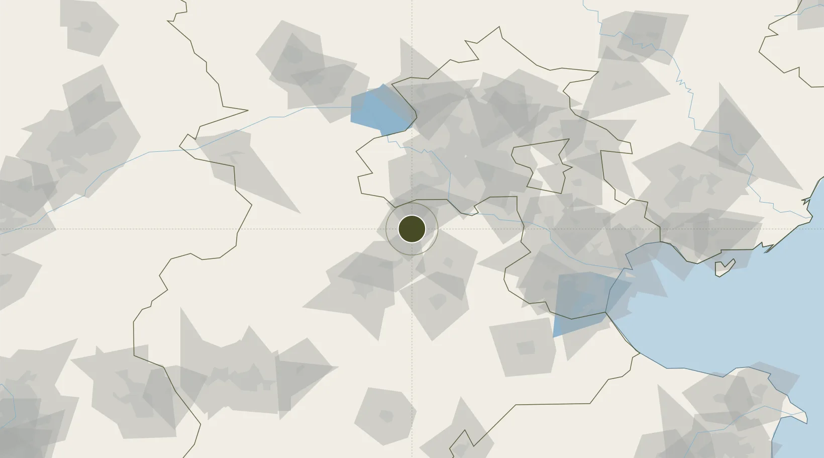
39.3269°, 115.9006°
648 ha
Zone area
171.4 km
Nearest port
44.1 km
Nearest airport

Gateway access

Nearest neighbours — logibook spatial index (haversine) over the source coordinates

Zone profile

Zone type
Export Processing Zone
Open Zone Map
Region
Hebei
Open Zone Map
Status
Active
Open Zone Map
Management
Public
Open Zone Map
Operator
Management Committee of Gaobeidian Economic Development Zone
Open Zone Map
Legal framework
Hebei Gaobeidian Economic Development Zone, located in the east of Gaobeidian downtown, is one of the first "provincial Torch Industrial Parks" approved by hebei Provincial Science and Technology Commission in August 1992 (Jke Yi Zi (1992) No. 021). In Ja
Open Zone Map

Location

Location of ozm-1195
Natural Earth 10m (public domain) · Hebei · ozm-1195 · 39.33, 115.90GoogleOSMYandex

Nearby Logistics Neighbours

Ports
  1. 1Tianjin Xin Gang171 km
  2. 2Tangshan (Jingtang)269 km
  3. 3Qinhuangdao325 km
  4. 4Longkou Gang425 km
  5. 5Huludao Gang459 km
Nearest neighbours — logibook spatial index (haversine) over the source coordinates
Airports
  1. 1Beijing Nanjiao Airport44 km
  2. 2Beijing Daxing International Airport48 km
  3. 3Liangxiangzhen Air Base52 km
  4. 4Beijing Xijiao Airport77 km
  5. 5Beijing Xijiao Airport77 km
Nearest neighbours — logibook spatial index (haversine) over the source coordinates
Cities
  1. 1Xiangyang26 km
  2. 2Daxing48 km
  3. 3Baoding63 km
  4. 4Langfang72 km
  5. 5Yizhuang73 km
Nearest neighbours — logibook spatial index (haversine) over the source coordinates
DatabookThe Record of Consolidated Knowledge
China beyond logistics?
Browse databook

All Sources

Trade ZonesOpen Zone Map
CC BY
Portsthe NGA World Port Index
Public domain (US gov)
AirportsOurAirports
Public domain
LocationsUN/LOCODE
UN/LOCODE — free
← China trade zones