UN/LOCODE hub · China
CNWUQ

Wuqing

39.5167°, 116.8500°
1
Transport functions

Transport Functions

Multimodal
UN/LOCODE

Hub Profile

Place type
Populated place
GeoNames
Region
Tibet
GeoNames
Time zone
Asia/Shanghai
GeoNames
Elevation
4,623 m
GeoNames

Location

Location of CNWUQ
Natural Earth 10m (public domain) · Tibet · CNWUQ · 39.52, 116.85GoogleOSMYandex

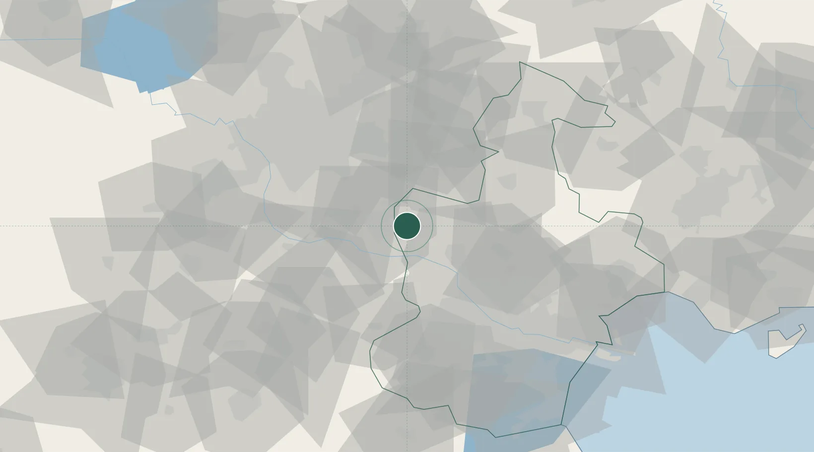
Nearby Logistics Neighbours

Cities
  1. 1Langfang13 km
  2. 2Daxing37 km
  3. 3Yizhuang45 km
  4. 4Yutai46 km
  5. 5Xiqing , Tianjing52 km
Nearest neighbours — logibook spatial index (haversine) over the source coordinates
Ports
  1. 1Tianjin Xin Gang105 km
  2. 2Tangshan (Jingtang)190 km
  3. 3Qinhuangdao241 km
  4. 4Longkou Gang365 km
  5. 5Huludao Gang375 km
Nearest neighbours — logibook spatial index (haversine) over the source coordinates
Airports
  1. 1Yangcun Air Base26 km
  2. 2Beijing Tongxian Air Base35 km
  3. 3Beijing Daxing International Airport37 km
  4. 4Beijing Nanjiao Airport41 km
  5. 5Tianjin Binhai International Airport61 km
Nearest neighbours — logibook spatial index (haversine) over the source coordinates
Trade Zones
  1. 1Jingbin Industrial Park6 km
  2. 2Wuqing Fuyuan Economic Development Zone23 km
  3. 3Fengxiang High-tech Industrial Development Zone28 km
  4. 4Langfang High-tech Industrial Development Zone28 km
  5. 5Shuangkou Industrial Park37 km
Nearest neighbours — logibook spatial index (haversine) over the source coordinates
DatabookThe Record of Consolidated Knowledge
China beyond logistics?
Browse databook

All Sources

LocationsUN/LOCODE
UN/LOCODE — free
Portsthe NGA World Port Index
Public domain (US gov)
AirportsOurAirports
Public domain
Trade Zonesthe World Bank SEZ database
CC BY 4.0
Trade ZonesOpen Zone Map
CC BY
← China locations