Medium airport · China

Liuzhou Bailian Airport / Bailian Air BaseZGZH
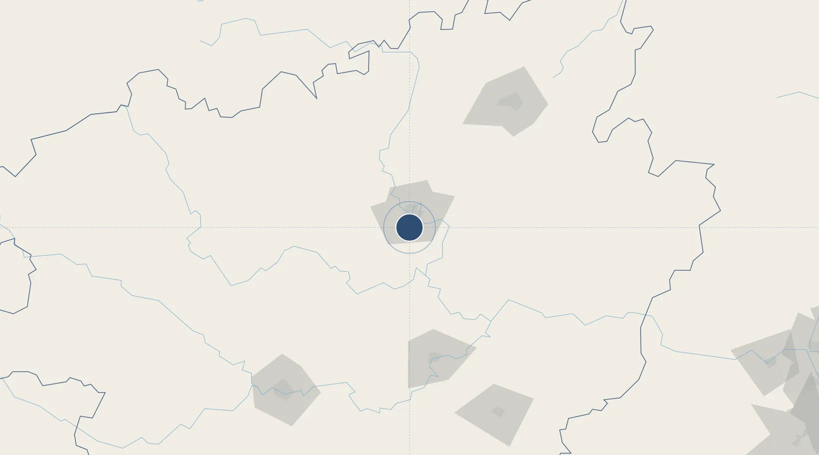
24.2075°, 109.3910°
8,202 ft
Longest runway
1
Runways
295 ft
Elevation

Runway & Layout

Liuzhou Bailian Airport / Bailian Air Base runway & taxiway layout
Runway & taxiway layout — OpenStreetMap (ODbL) / OurAirports

Runways · 1

RunwayDimensions SurfaceTrue headingLit
16/34 8,202 × —ft
OurAirports

Airport Specifications

IATA code
LZH
OurAirports
ICAO code
ZGZH
OurAirports
Airport class
Medium airport
OurAirports
Scheduled service
Yes
OurAirports
Served city
Liuzhou (Liujiang)
OurAirports

Location

Location of ZGZH
Natural Earth 10m (public domain) · Guangxi · ZGZH · 24.21, 109.39GoogleOSMYandex

Nearby Logistics Neighbours

Airports
  1. 1Guiping Mengxu Air Base116 km
  2. 2Guilin Liangjiang International Airport130 km
  3. 3Hechi Jinchengjiang Airport183 km
  4. 4Wuzhou Xijiang Airport195 km
  5. 5Libo Airport200 km
Nearest neighbours — logibook spatial index (haversine) over the source coordinates
Cities
  1. 1Laibin58 km
  2. 2Yongfu105 km
  3. 3Guicheng127 km
  4. 4Liuzhou128 km
  5. 5Danzhou129 km
Nearest neighbours — logibook spatial index (haversine) over the source coordinates
Ports
  1. 1Qinzhou287 km
  2. 2Fang-Cheng293 km
  3. 3Beihai305 km
  4. 4Shui Dong349 km
  5. 5Zhanjiang350 km
Nearest neighbours — logibook spatial index (haversine) over the source coordinates
Trade Zones
  1. 1Xinxing Industrial Park5 km
  2. 2Liubei Industrial Zone20 km
  3. 3Luzhai Economic Development Zone46 km
  4. 4Industrial Park, Laibin City52 km
  5. 5Yizhou Economic Development Zone88 km
Nearest neighbours — logibook spatial index (haversine) over the source coordinates
DatabookThe Record of Consolidated Knowledge
China beyond logistics?
Browse databook

All Sources

AirportsOurAirports
Public domain
Portsthe NGA World Port Index
Public domain (US gov)
LocationsUN/LOCODE
UN/LOCODE — free
Trade Zonesthe World Bank SEZ database
CC BY 4.0
Trade ZonesOpen Zone Map
CC BY
InfrastructureOpenStreetMap
ODbL 1.0
← China airports