Diversified Zone · Vietnam

Đại An Expansion Industrial Zone Active
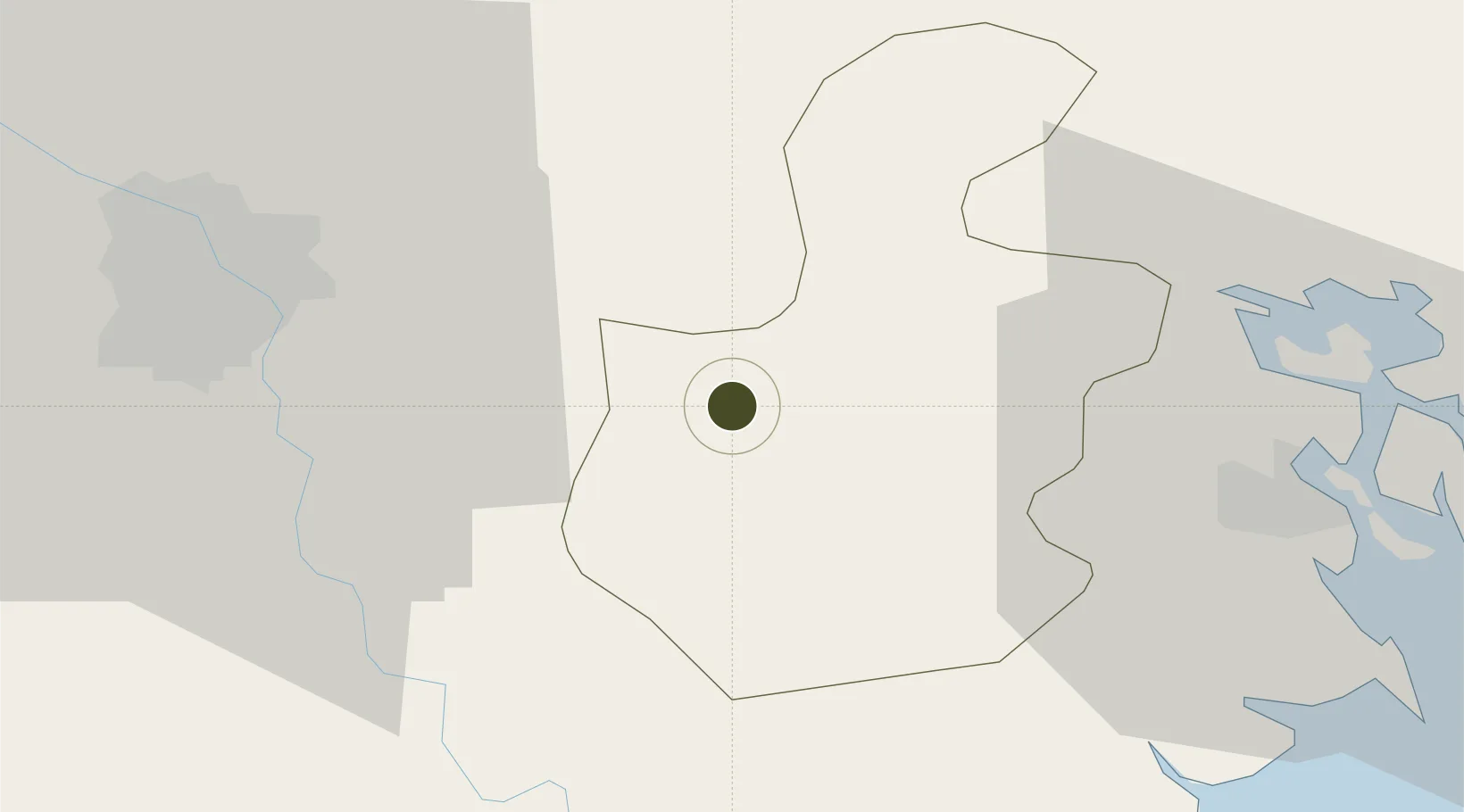
20.9288°, 106.2571°
122 ha
Zone area
44.3 km
Nearest port
40.5 km
Nearest airport

Gateway access

Nearest neighbours — logibook spatial index (haversine) over the source coordinates

Zone profile

Zone type
Diversified Zone
Open Zone Map
Region
Hải Dương
Open Zone Map
Status
Active
Open Zone Map
Management
Public-Private Partnership
Open Zone Map
Operator
Dai An JSC, Dai An Industrial Zone Project Management Authority
Open Zone Map
Legal framework
Decree No.82/2018/ND-CP on Management of Industrial Parks and Economic Zones, Decree No 218/2013/ND-CP
Open Zone Map

Location

Location of ozm-5033
Natural Earth 10m (public domain) · Hải Dương · ozm-5033 · 20.93, 106.26GoogleOSMYandex

Nearby Logistics Neighbours

Ports
  1. 1Hai Phong44 km
  2. 2Hon Gai84 km
  3. 3Cam Pha116 km
  4. 4Fang-Cheng235 km
  5. 5Nghe Tinh246 km
Nearest neighbours — logibook spatial index (haversine) over the source coordinates
Airports
  1. 1Gia Lam Air Base41 km
  2. 2Cat Bi International Airport50 km
  3. 3Noi Bai International Airport57 km
  4. 4Van Don International Airport122 km
  5. 5Tho Xuan Airport141 km
Nearest neighbours — logibook spatial index (haversine) over the source coordinates
Cities
  1. 1Luong Tai14 km
  2. 2Gia Lam28 km
  3. 3Hanoi35 km
  4. 4Vat Cach36 km
  5. 5Hoa Mac42 km
Nearest neighbours — logibook spatial index (haversine) over the source coordinates
Trade Zones
  1. 1Dai An Industrial Zone1 km
  2. 2Tan Truong Industrial Zone3 km
  3. 3Hải Dương Phúc Điền Industrial Estate7 km
  4. 4Vsip Hai Duong Industrial Estate12 km
  5. 5Nam Sach Industrial Zone13 km
Nearest neighbours — logibook spatial index (haversine) over the source coordinates
DatabookThe Record of Consolidated Knowledge
Vietnam beyond logistics?
Browse databook

All Sources

Trade ZonesOpen Zone Map
CC BY
Portsthe NGA World Port Index
Public domain (US gov)
AirportsOurAirports
Public domain
LocationsUN/LOCODE
UN/LOCODE — free
← Vietnam trade zones