Export Processing Zone · Vietnam

Cầu Nghìn Industrial Zone Active
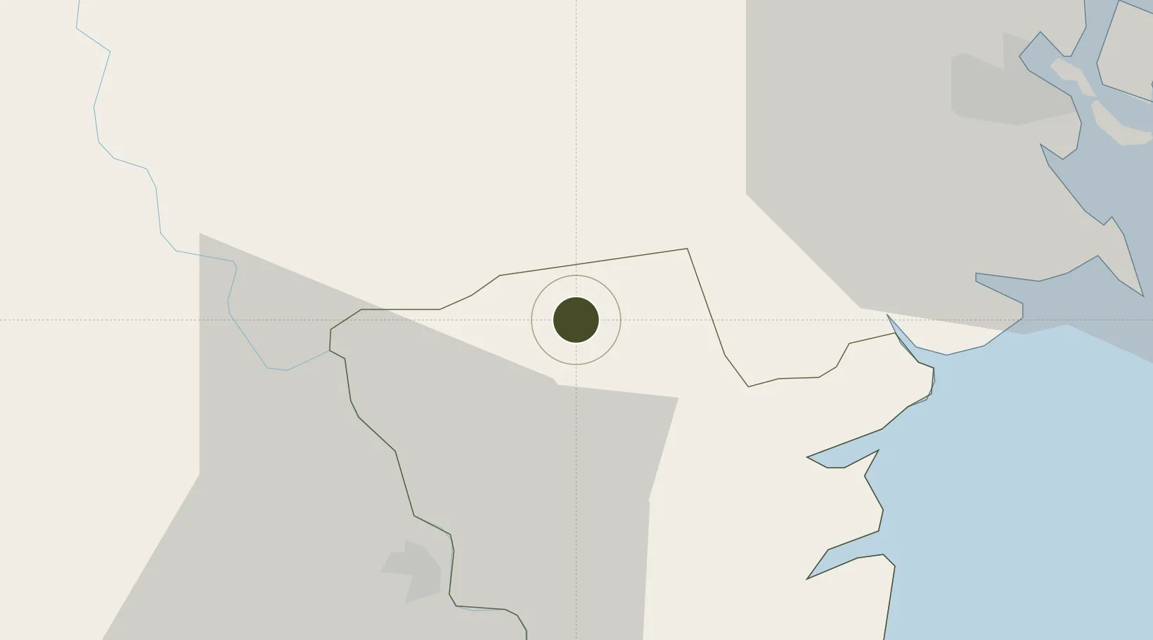
20.6581°, 106.3221°
212 ha
Zone area
47.3 km
Nearest port
45.4 km
Nearest airport

Gateway access

Nearest neighbours — logibook spatial index (haversine) over the source coordinates

Zone profile

Zone type
Export Processing Zone
Open Zone Map
Region
Thái Bình
Open Zone Map
Status
Active
Open Zone Map
Management
Public-Private Partnership
Open Zone Map
Operator
IDICO-JSC
Open Zone Map
Legal framework
Decree No.82/2018/ND-CP on Management of Industrial Parks and Economic Zones, Decree No 218/2013/ND-CP
Open Zone Map

Location

Location of ozm-5135
Natural Earth 10m (public domain) · Thái Bình · ozm-5135 · 20.66, 106.32GoogleOSMYandex

Nearby Logistics Neighbours

Ports
  1. 1Hai Phong47 km
  2. 2Hon Gai84 km
  3. 3Cam Pha116 km
  4. 4Nghe Tinh218 km
  5. 5Fang-Cheng243 km
Nearest neighbours — logibook spatial index (haversine) over the source coordinates
Airports
  1. 1Cat Bi International Airport45 km
  2. 2Gia Lam Air Base62 km
  3. 3Noi Bai International Airport82 km
  4. 4Tho Xuan Airport123 km
  5. 5Van Don International Airport125 km
Nearest neighbours — logibook spatial index (haversine) over the source coordinates
Cities
  1. 1Hoa Mac34 km
  2. 2Nghe Tinh34 km
  3. 3Vat Cach38 km
  4. 4Luong Tai40 km
  5. 5Cua Cam Terminal44 km
Nearest neighbours — logibook spatial index (haversine) over the source coordinates
Trade Zones
  1. 1Gia Lê Industrial Park18 km
  2. 2Song Tra Industrial Park24 km
  3. 3Phuc Khanh Ii Industrial Park24 km
  4. 4Thaco - Thai Binh Industrial Park24 km
  5. 5Phuc Khanh Industrial Park24 km
Nearest neighbours — logibook spatial index (haversine) over the source coordinates
DatabookThe Record of Consolidated Knowledge
Vietnam beyond logistics?
Browse databook

All Sources

Trade ZonesOpen Zone Map
CC BY
Portsthe NGA World Port Index
Public domain (US gov)
AirportsOurAirports
Public domain
LocationsUN/LOCODE
UN/LOCODE — free
← Vietnam trade zones