Transport Functions
Port
Road
Hub Profile
Place type
Populated place
Region
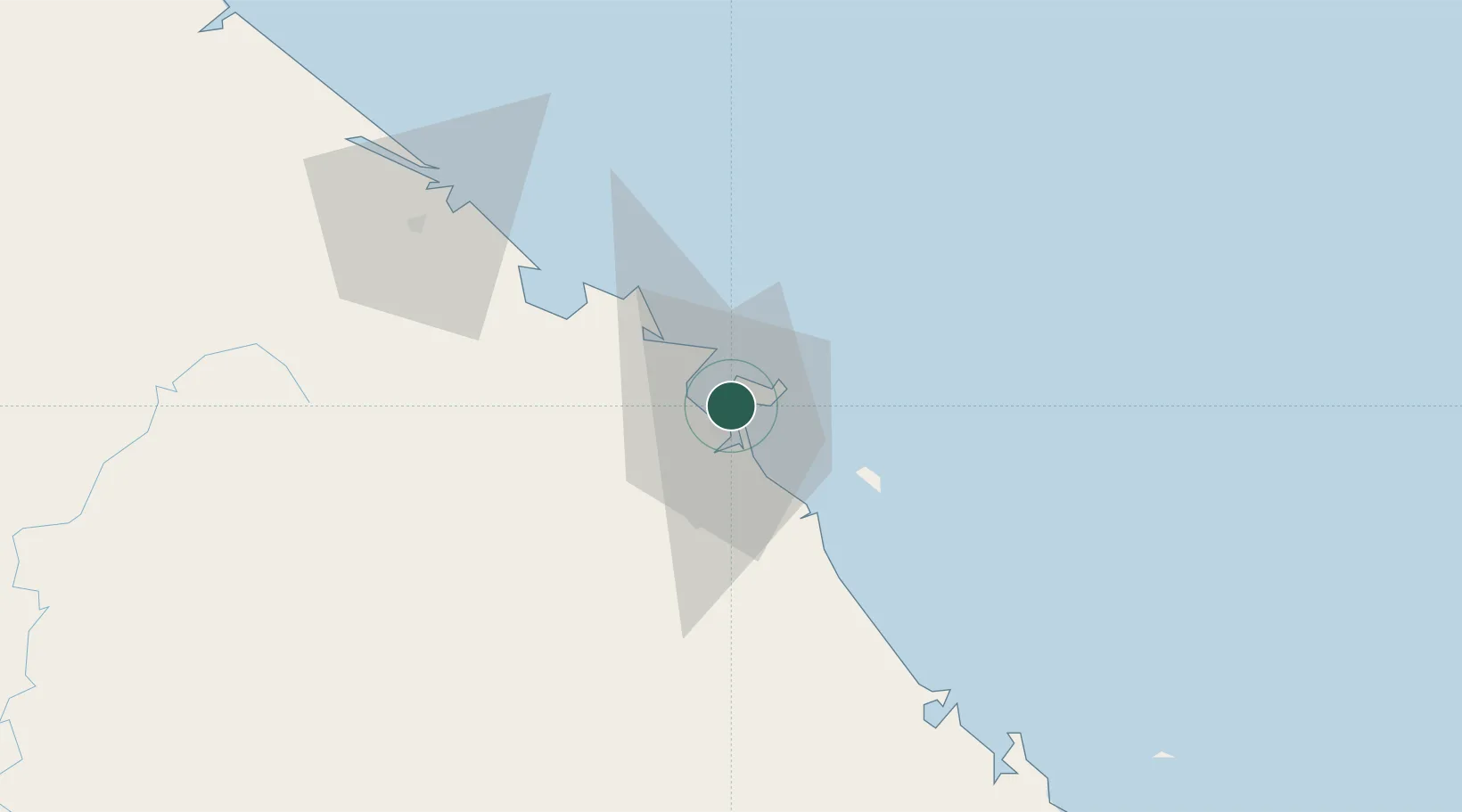
Ho Chi Minh City (HCMC)
Time zone
Asia/Ho_Chi_Minh
Elevation
8 m
Location
Nearby Logistics Neighbours
Cities
- 1Da Nang0 km
- 2Tien Sa Terminal4 km
- 3Nguyen Van Troi Port6 km
- 4Song Han 96 km
- 5Hoa Vang32 km
Airports
- 1Da Nang International Airport7 km
- 2Phu Bai International Airport66 km
- 3Chu Lai Airport93 km
- 4Pleiku Airport234 km
- 5Dong Hoi Airport235 km
Trade Zones
DatabookThe Record of Consolidated Knowledge
Vietnam beyond logistics?