Specialized Zone · Vietnam

Da Nang Hi-Tech Park Active
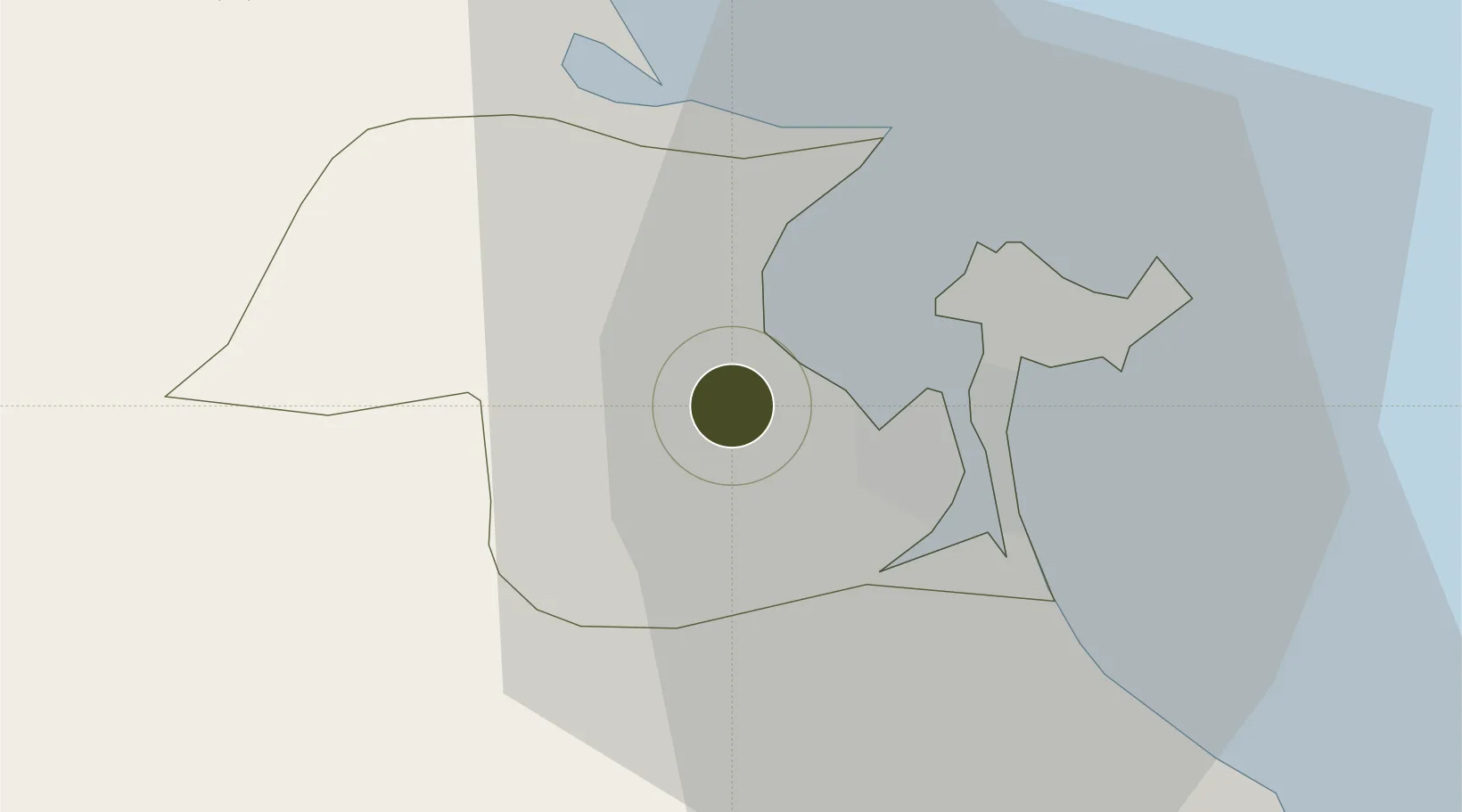
16.0836°, 108.1275°
1,130 ha
Zone area
9.7 km
Nearest port
8.8 km
Nearest airport

Gateway access

Nearest neighbours — logibook spatial index (haversine) over the source coordinates

Zone profile

Zone type
Specialized Zone
Open Zone Map
Specialization
Tech
Open Zone Map
Region
Đà Nẵng
Open Zone Map
Status
Active
Open Zone Map
Management
Public
Open Zone Map
Operator
Danang Hi-Tech Park And Industrial Zones Authority
Open Zone Map
Legal framework
Decree No.04/2018/ND-CP, Decree No.82/2018/ND-CP on Management of Industrial Parks and Economic Zones, Decree No 218/2013/ND-CP, Decision No. 1979/QD-TTg
Open Zone Map

Location

Location of ozm-5071
Natural Earth 10m (public domain) · Đà Nẵng · ozm-5071 · 16.08, 108.13GoogleOSMYandex

Nearby Logistics Neighbours

Ports
  1. 1Da Nang10 km
  2. 2Qui Nhon284 km
  3. 3Sanya285 km
  4. 4Basuo339 km
  5. 5Nghe Tinh390 km
Nearest neighbours — logibook spatial index (haversine) over the source coordinates
Airports
  1. 1Da Nang International Airport9 km
  2. 2Phu Bai International Airport57 km
  3. 3Chu Lai Airport98 km
  4. 4Dong Hoi Airport228 km
  5. 5Pleiku Airport232 km
Nearest neighbours — logibook spatial index (haversine) over the source coordinates
Cities
  1. 1Tien Sa Terminal9 km
  2. 2Nguyen Van Troi Port10 km
  3. 3Song Han 910 km
  4. 4Da Nang11 km
  5. 5Hai Son12 km
Nearest neighbours — logibook spatial index (haversine) over the source coordinates
Trade Zones
  1. 1Hoa Khanh Industrial Park1 km
  2. 2Hoa Khanh Expanded Industrial Park1 km
  3. 3Lien Chieu Industrial Park5 km
  4. 4Đà Nẵng Hi-Tech Park6 km
  5. 5Hoa Cam Industrial Park10 km
Nearest neighbours — logibook spatial index (haversine) over the source coordinates
DatabookThe Record of Consolidated Knowledge
Vietnam beyond logistics?
Browse databook

All Sources

Trade ZonesOpen Zone Map
CC BY
Portsthe NGA World Port Index
Public domain (US gov)
AirportsOurAirports
Public domain
LocationsUN/LOCODE
UN/LOCODE — free
← Vietnam trade zones