UN/LOCODE hub · Vietnam
VNSH9

Song Han 9

16.0500°, 108.2167°
2
Transport functions

Transport Functions

Port
Road
UN/LOCODE

Location

Location of VNSH9
Natural Earth 10m (public domain) · Đà Nẵng · VNSH9 · 16.05, 108.22GoogleOSMYandex

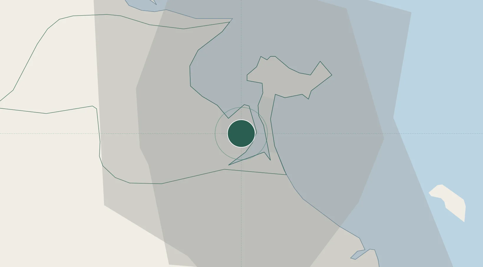
Nearby Logistics Neighbours

Cities
  1. 1Nguyen Van Troi Port0 km
  2. 2Da Nang6 km
  3. 3Hai Son6 km
  4. 4Tien Sa Terminal8 km
  5. 5Hoa Vang28 km
Nearest neighbours — logibook spatial index (haversine) over the source coordinates
Ports
  1. 1Da Nang6 km
  2. 2Qui Nhon276 km
  3. 3Sanya284 km
  4. 4Basuo342 km
  5. 5Nghe Tinh399 km
Nearest neighbours — logibook spatial index (haversine) over the source coordinates
Airports
  1. 1Da Nang International Airport2 km
  2. 2Phu Bai International Airport67 km
  3. 3Chu Lai Airport89 km
  4. 4Pleiku Airport229 km
  5. 5Dong Hoi Airport238 km
Nearest neighbours — logibook spatial index (haversine) over the source coordinates
Trade Zones
  1. 1Đà Nẵng (An Don) Industrial Zone4 km
  2. 2Đà Nẵng Hi-Tech Park5 km
  3. 3Đà Nẵng Seafood Service Industrial Zone6 km
  4. 4Hoa Cam Industrial Park6 km
  5. 5Hoa Khanh Industrial Park10 km
Nearest neighbours — logibook spatial index (haversine) over the source coordinates
DatabookThe Record of Consolidated Knowledge
Vietnam beyond logistics?
Browse databook

All Sources

LocationsUN/LOCODE
UN/LOCODE — free
Portsthe NGA World Port Index
Public domain (US gov)
AirportsOurAirports
Public domain
Trade Zonesthe World Bank SEZ database
CC BY 4.0
Trade ZonesOpen Zone Map
CC BY
← Vietnam locations