Export Processing Zone · Vietnam

Đại Hiệp Industrial Zone Active
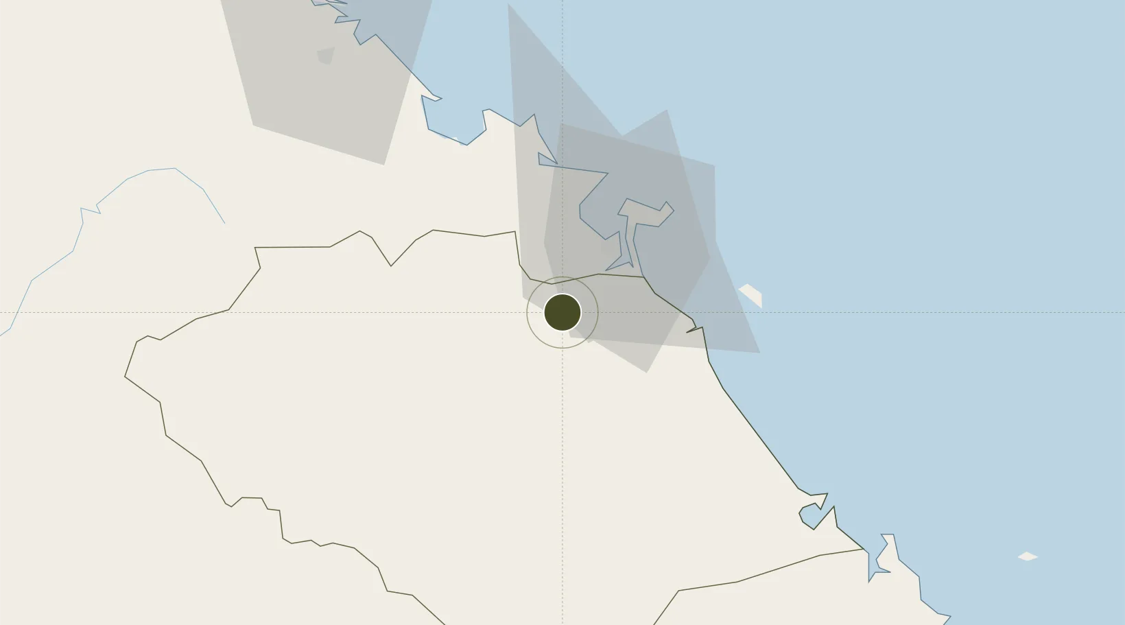
15.9130°, 108.1045°
40 ha
Zone area
24.0 km
Nearest port
17.7 km
Nearest airport

Gateway access

Nearest neighbours — logibook spatial index (haversine) over the source coordinates

Zone profile

Zone type
Export Processing Zone
Open Zone Map
Region
Quàng Nam
Open Zone Map
Status
Active
Open Zone Map
Management
Public
Open Zone Map
Operator
Ky Ha Investment and Development Company
Open Zone Map
Legal framework
Decree No.82/2018/ND-CP on Management of Industrial Parks and Economic Zones, Decree No 218/2013/ND-CP
Open Zone Map

Location

Location of ozm-5138
Natural Earth 10m (public domain) · Quàng Nam · ozm-5138 · 15.91, 108.10GoogleOSMYandex

Nearby Logistics Neighbours

Ports
  1. 1Da Nang24 km
  2. 2Qui Nhon268 km
  3. 3Sanya303 km
  4. 4Basuo359 km
  5. 5Nghe Tinh403 km
Nearest neighbours — logibook spatial index (haversine) over the source coordinates
Airports
  1. 1Da Nang International Airport18 km
  2. 2Phu Bai International Airport69 km
  3. 3Chu Lai Airport86 km
  4. 4Pleiku Airport212 km
  5. 5Phu Cat Airport240 km
Nearest neighbours — logibook spatial index (haversine) over the source coordinates
Cities
  1. 1Nguyen Van Troi Port19 km
  2. 2Song Han 919 km
  3. 3Da Nang25 km
  4. 4Tien Sa Terminal25 km
  5. 5Hai Son25 km
Nearest neighbours — logibook spatial index (haversine) over the source coordinates
Trade Zones
  1. 1Hoa Cam Industrial Park13 km
  2. 2Đà Nẵng Hi-Tech Park17 km
  3. 3Dien Nam - Dien Ngoc Industrial Zone17 km
  4. 4Hoa Khanh Expanded Industrial Park19 km
  5. 5Da Nang Hi-Tech Park19 km
Nearest neighbours — logibook spatial index (haversine) over the source coordinates
DatabookThe Record of Consolidated Knowledge
Vietnam beyond logistics?
Browse databook

All Sources

Trade ZonesOpen Zone Map
CC BY
Portsthe NGA World Port Index
Public domain (US gov)
AirportsOurAirports
Public domain
LocationsUN/LOCODE
UN/LOCODE — free
← Vietnam trade zones