Export Processing Zone · Vietnam

Hải Dương Phúc Điền Industrial Estate Active
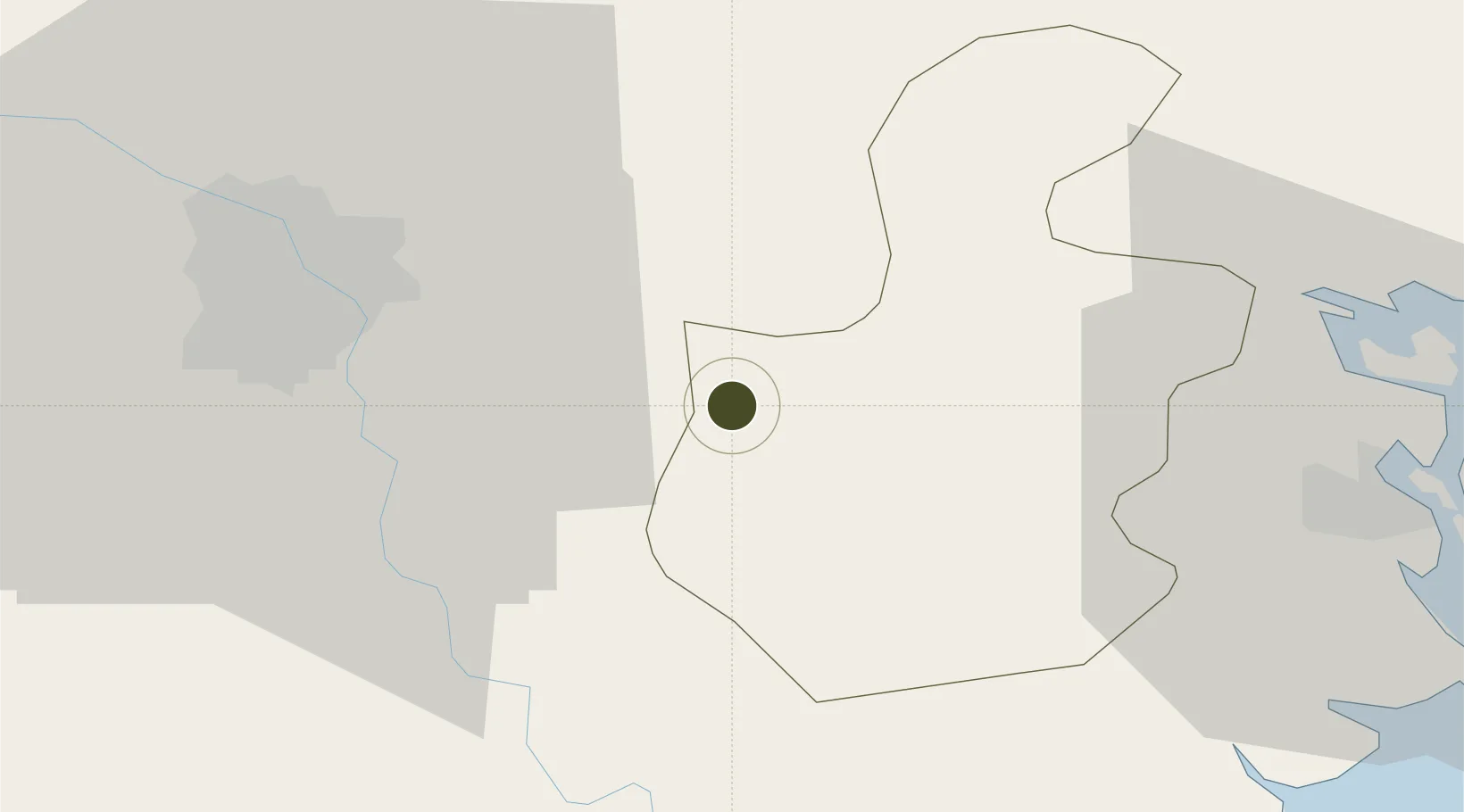
20.9311°, 106.1900°
87 ha
Zone area
51.3 km
Nearest port
33.8 km
Nearest airport

Gateway access

Nearest neighbours — logibook spatial index (haversine) over the source coordinates

Zone profile

Zone type
Export Processing Zone
Open Zone Map
Region
Hải Dương
Open Zone Map
Status
Active
Open Zone Map
Management
Public-Private Partnership
Open Zone Map
Operator
Nam Quang Investment and Development Joint - Stock Company
Open Zone Map
Legal framework
Decree No.82/2018/ND-CP on Management of Industrial Parks and Economic Zones, Decree No 218/2013/ND-CP
Open Zone Map

Location

Location of ozm-5143
Natural Earth 10m (public domain) · Hải Dương · ozm-5143 · 20.93, 106.19GoogleOSMYandex

Nearby Logistics Neighbours

Ports
  1. 1Hai Phong51 km
  2. 2Hon Gai91 km
  3. 3Cam Pha123 km
  4. 4Fang-Cheng242 km
  5. 5Nghe Tinh245 km
Nearest neighbours — logibook spatial index (haversine) over the source coordinates
Airports
  1. 1Gia Lam Air Base34 km
  2. 2Noi Bai International Airport51 km
  3. 3Cat Bi International Airport57 km
  4. 4Van Don International Airport129 km
  5. 5Tho Xuan Airport137 km
Nearest neighbours — logibook spatial index (haversine) over the source coordinates
Cities
  1. 1Luong Tai7 km
  2. 2Hanoi30 km
  3. 3Gia Lam34 km
  4. 4Hoa Mac39 km
  5. 5Vat Cach43 km
Nearest neighbours — logibook spatial index (haversine) over the source coordinates
Trade Zones
  1. 1Tan Truong Industrial Zone4 km
  2. 2Vsip Hai Duong Industrial Estate5 km
  3. 3Minh Duc Industrial Zone6 km
  4. 4Đại An Expansion Industrial Zone7 km
  5. 5Dai An Industrial Zone8 km
Nearest neighbours — logibook spatial index (haversine) over the source coordinates
DatabookThe Record of Consolidated Knowledge
Vietnam beyond logistics?
Browse databook

All Sources

Trade ZonesOpen Zone Map
CC BY
Portsthe NGA World Port Index
Public domain (US gov)
AirportsOurAirports
Public domain
LocationsUN/LOCODE
UN/LOCODE — free
← Vietnam trade zones