UN/LOCODE hub · Mexico
MXREX

Reynosa

26.0833°, -98.2833°
589,466
Population
3
Transport functions

Transport Functions

Rail
Road
Airport
UN/LOCODE

Hub Profile

Place type
Provincial seat
GeoNames
Region
Tamaulipas
GeoNames
Population
589,466
GeoNames
Time zone
America/Matamoros
GeoNames
Elevation
38 m
GeoNames

Location

Location of MXREX
Natural Earth 10m (public domain) · Tamaulipas · MXREX · 26.08, -98.28GoogleOSMYandex

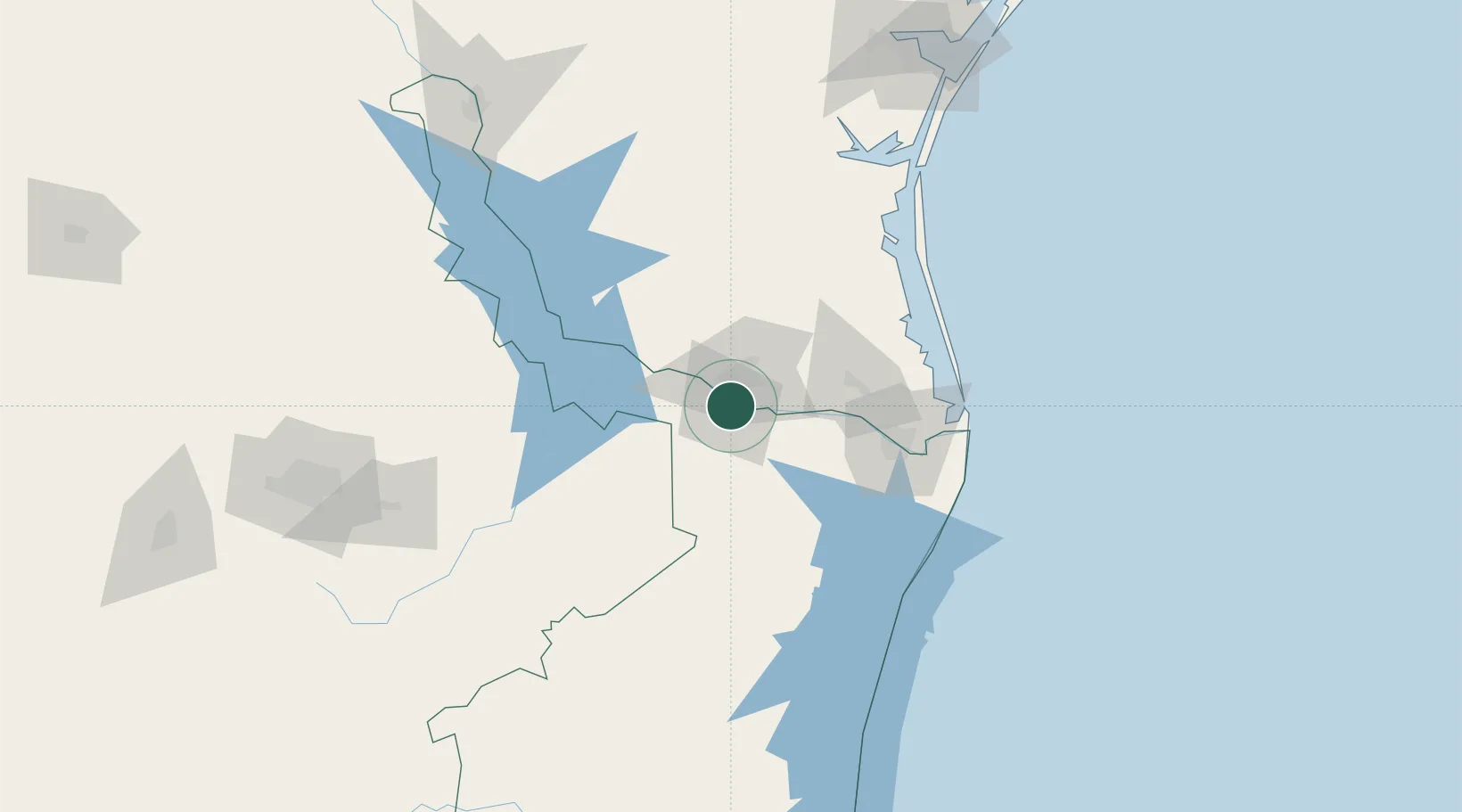
Nearby Logistics Neighbours

Cities
  1. 1Hidalgo6 km
  2. 2Hidalgo9 km
  3. 3Mission13 km
  4. 4San Juan17 km
  5. 5Ciudad Río Bravo24 km
Nearest neighbours — logibook spatial index (haversine) over the source coordinates
Ports
  1. 1Brownsville90 km
  2. 2Port Isabel108 km
  3. 3Corpus Christi212 km
  4. 4Port Ingleside221 km
  5. 5Port Aransas230 km
Nearest neighbours — logibook spatial index (haversine) over the source coordinates
Trade Zones
  1. 1FTZ No. 012 McAllen8 km
  2. 2FTZ No. 156 Weslaco27 km
  3. 3FTZ No. 157 Casper27 km
  4. 4FTZ No. 095 Starr County63 km
  5. 5FTZ No. 062 Brownsville88 km
Nearest neighbours — logibook spatial index (haversine) over the source coordinates
DatabookThe Record of Consolidated Knowledge
Mexico beyond logistics?
Browse databook

All Sources

LocationsUN/LOCODE
UN/LOCODE — free
LocationsGeoNames
CC BY 4.0
Portsthe NGA World Port Index
Public domain (US gov)
AirportsOurAirports
Public domain
Trade Zonesthe World Bank SEZ database
CC BY 4.0
Trade ZonesOpen Zone Map
CC BY
← Mexico locations