UN/LOCODE hub · United States
USHID
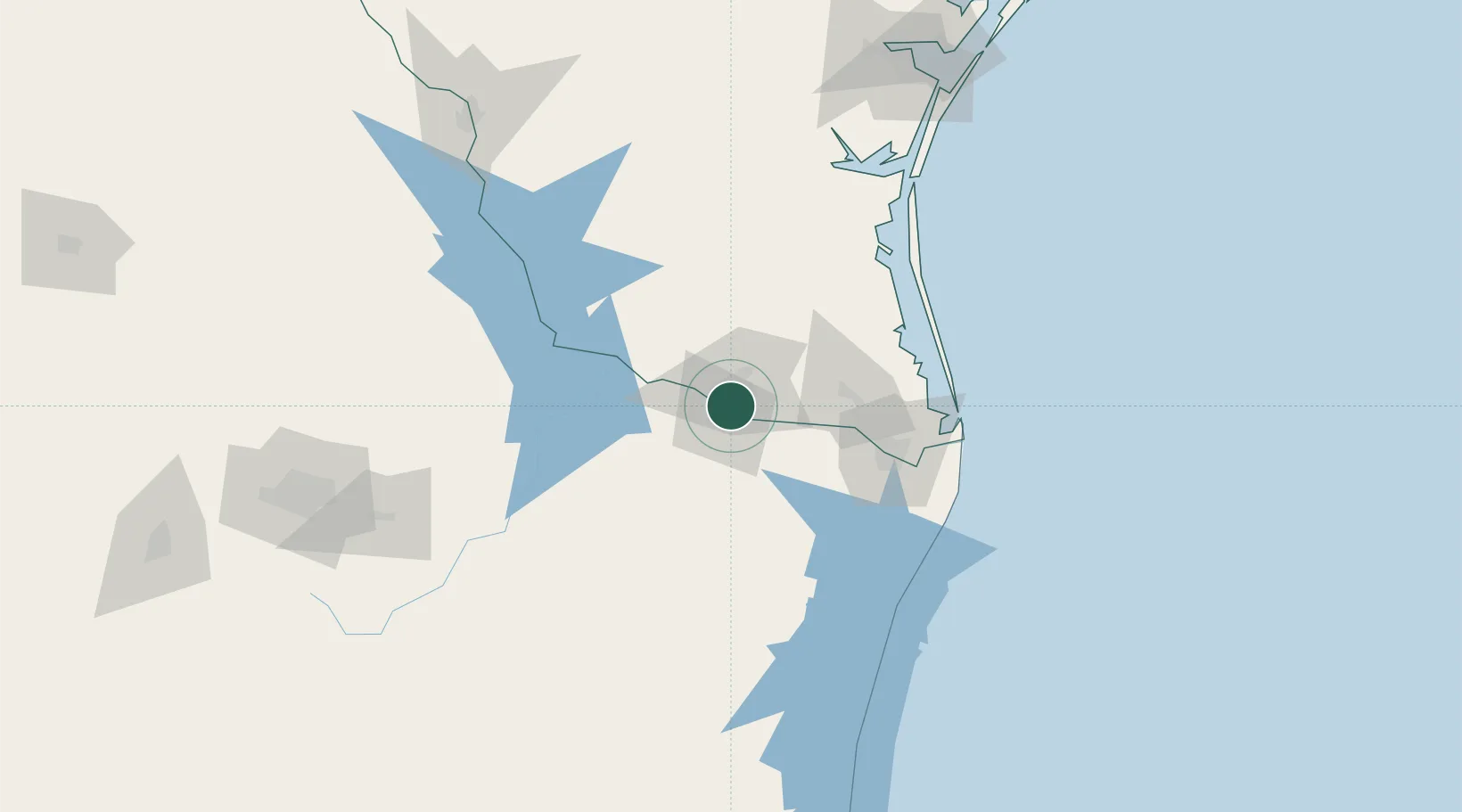
Hidalgo
26.1344°, -98.2540°
13,709
Population
2
Transport functions
Transport Functions
Port
Road
Hub Profile
Place type
Populated place
Region
Texas
Population
13,709
Time zone
America/Chicago
Elevation
31 m
Logistics facilities
1
Location
Nearby Logistics Neighbours
Cities
- 1Reynosa6 km
- 2Mission10 km
- 3Hidalgo11 km
- 4San Juan12 km
- 5Ciudad Río Bravo25 km
Ports
- 1Brownsville88 km
- 2Port Isabel105 km
- 3Corpus Christi205 km
- 4Port Ingleside215 km
- 5Port Aransas223 km
Airports
Trade Zones
- 1FTZ No. 012 McAllen2 km
- 2FTZ No. 156 Weslaco23 km
- 3FTZ No. 157 Casper23 km
- 4FTZ No. 095 Starr County62 km
- 5FTZ No. 062 Brownsville87 km
DatabookThe Record of Consolidated Knowledge
United States beyond logistics?