UN/LOCODE hub · Argentina
ARVME
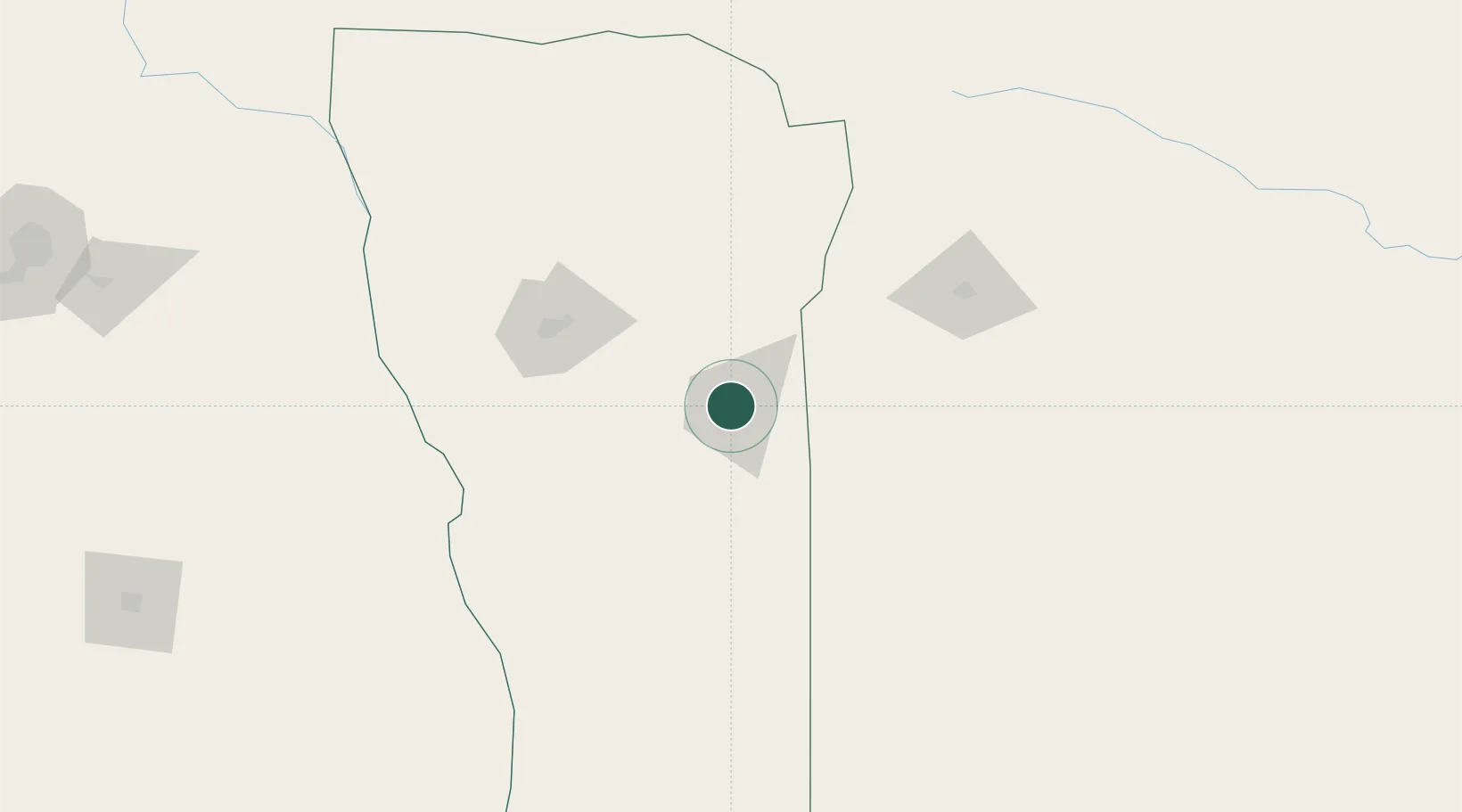
Villa Mercedes
-33.6667°, -65.4667°
96,781
Population
3
Transport functions
Transport Functions
Rail
Road
Airport
Hub Profile
Place type
Populated place
Region
San Luis
Population
96,781
Time zone
America/Argentina/San_Luis
Elevation
516 m
Location
Nearby Logistics Neighbours
Cities
- 1La Toma70 km
- 2La Paz194 km
- 3Río Tercero209 km
- 4Ticino216 km
- 5Canals240 km
Ports
- 1San Lorenzo452 km
- 2Puerto San Martin453 km
- 3Rosario456 km
- 4Villa Constitucion479 km
- 5Diamante484 km
Airports
Trade Zones
- 1Zona Franca de San Luis32 km
- 2Justo Daract Free Trade Zone32 km
- 3General Pico Free Zone272 km
- 4Córdoba Free Trade Zone291 km
- 5Zona Franca Mendoza Free Trade Zone333 km
DatabookThe Record of Consolidated Knowledge
Argentina beyond logistics?