Transport Functions
Multimodal
Hub Profile
Place type
Populated place
Region
England
Time zone
Europe/London
Elevation
83 m
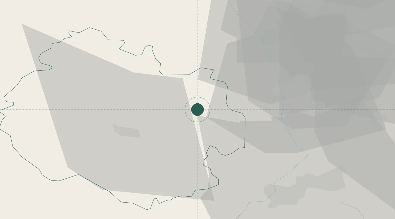
Location
Nearby Logistics Neighbours
Cities
- 1Hampton Bishop15 km
- 2Moreton on Lugg15 km
- 3Stockton19 km
- 4Tenbury19 km
- 5Defford19 km
Airports
- 1Gloucestershire Airport35 km
- 2RAF Cosford58 km
- 3Birmingham Airport62 km
- 4RAF Fairford70 km
- 5Coventry Airport74 km
Trade Zones
DatabookThe Record of Consolidated Knowledge
United Kingdom beyond logistics?