UN/LOCODE hub · United Kingdom
GBMNU
Moreton on Lugg
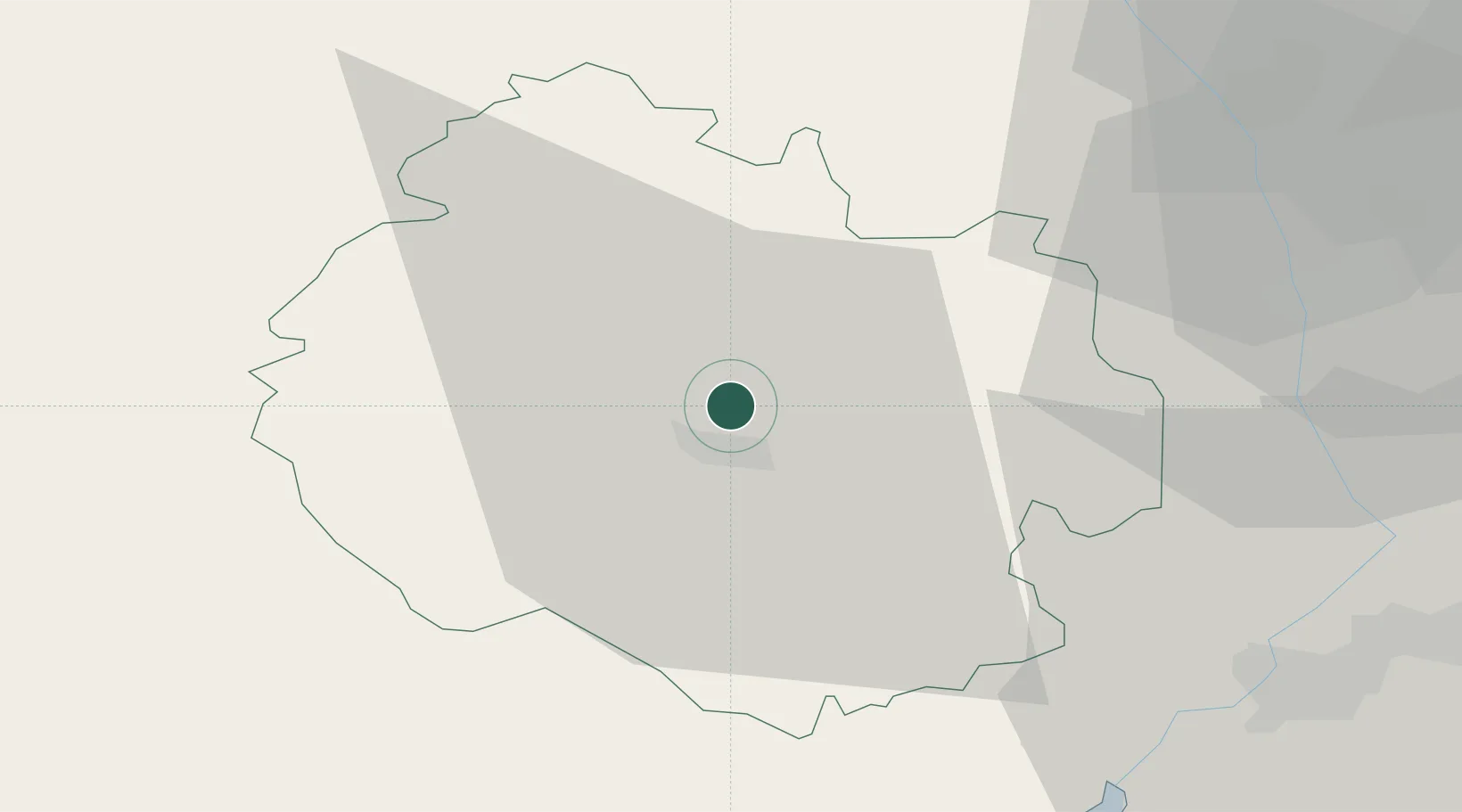
52.1000°, -2.7167°
920
Population
2
Transport functions
Transport Functions
Road
Multimodal
Hub Profile
Place type
Populated place
Region
England
Population
920
Time zone
Europe/London
Elevation
63 m
Location
Nearby Logistics Neighbours
Cities
- 1Hampton Bishop9 km
- 2Bishops Frome15 km
- 3Stockton17 km
- 4Pembridge18 km
- 5Shobdon20 km
Airports
- 1Gloucestershire Airport44 km
- 2RAF Cosford66 km
- 3Birmingham Airport77 km
- 4RAF Shawbury78 km
- 5RAF Fairford79 km
Trade Zones
DatabookThe Record of Consolidated Knowledge
United Kingdom beyond logistics?