Diversified Zone · China

Xinmin Economic Development Zone Active
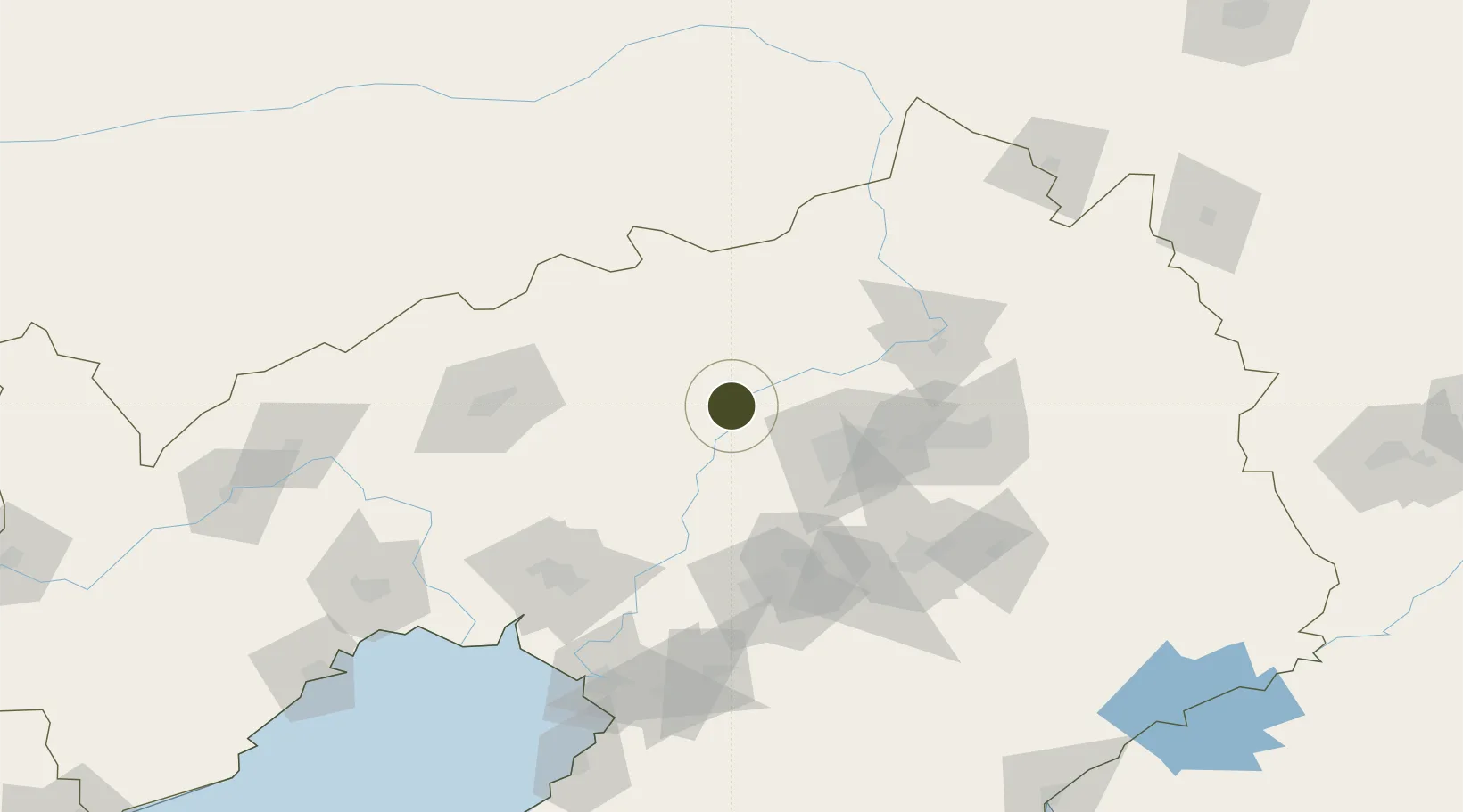
41.9943°, 122.8615°
345 ha
Zone area
154.9 km
Nearest port
40.9 km
Nearest airport

Gateway access

Nearest neighbours — logibook spatial index (haversine) over the source coordinates

Zone profile

Zone type
Diversified Zone
Open Zone Map
Region
Liaoning
Open Zone Map
Status
Active
Open Zone Map
Management
Public
Open Zone Map
Operator
Management Committee of Xinmin Economic Development Zone
Open Zone Map
Legal framework
It was established in July 1992
Open Zone Map

Location

Location of ozm-438
Natural Earth 10m (public domain) · Liaoning · ozm-438 · 41.99, 122.86GoogleOSMYandex

Nearby Logistics Neighbours

Ports
  1. 1Yingkou155 km
  2. 2Bayuquan199 km
  3. 3Jinzhou Wan202 km
  4. 4Huludao Gang213 km
  5. 5Dandong265 km
Nearest neighbours — logibook spatial index (haversine) over the source coordinates
Airports
  1. 1Shenyang Yuhong Quansheng Airport41 km
  2. 2Shenyang Beiling Air Base50 km
  3. 3Shenyang Dongta Airport58 km
  4. 4Shenyang Taoxian International Airport65 km
  5. 5Anshan Teng'ao Airport / Anshan Air Base99 km
Nearest neighbours — logibook spatial index (haversine) over the source coordinates
Cities
  1. 1Zhoutuozi32 km
  2. 2Shenyang51 km
  3. 3Faku72 km
  4. 4Heishan72 km
  5. 5Tieling86 km
Nearest neighbours — logibook spatial index (haversine) over the source coordinates
Trade Zones
  1. 1Shenyang Capital Economic Development Zone44 km
  2. 2Shenyang Offshore Economic Zone54 km
  3. 3Shenyang-EU Economic Development Zone55 km
  4. 4Shenyang Cedar Economic Development Zone56 km
  5. 5Shenyang Export Processing Zone62 km
Nearest neighbours — logibook spatial index (haversine) over the source coordinates
DatabookThe Record of Consolidated Knowledge
China beyond logistics?
Browse databook

All Sources

Trade ZonesOpen Zone Map
CC BY
Portsthe NGA World Port Index
Public domain (US gov)
AirportsOurAirports
Public domain
LocationsUN/LOCODE
UN/LOCODE — free
← China trade zones