Diversified Zone · Sri Lanka

Kurunegala - Pannala Industrial Estate Active
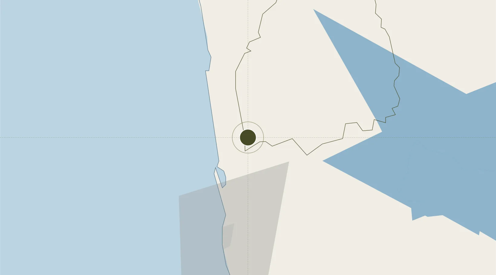
7.3295°, 79.9527°
9 ha
Zone area
43.7 km
Nearest port
18.2 km
Nearest airport

Gateway access

Nearest neighbours — logibook spatial index (haversine) over the source coordinates

Zone profile

Zone type
Diversified Zone
Open Zone Map
Region
Kuruṇægala
Open Zone Map
Status
Active
Open Zone Map
Management
Public
Open Zone Map
Operator
Industrial Development Board of Sri Lanka
Open Zone Map
Legal framework
Industrial Development Act, No. 36 of 1969
Open Zone Map

Location

Location of ozm-4337
Natural Earth 10m (public domain) · Kuruṇægala · ozm-4337 · 7.33, 79.95GoogleOSMYandex

Nearby Logistics Neighbours

Ports
  1. 1Colombo44 km
  2. 2Galle Harbor147 km
  3. 3Hambantota188 km
  4. 4Trincomalee Harbor194 km
  5. 5Tuticorin256 km
Nearest neighbours — logibook spatial index (haversine) over the source coordinates
Airports
  1. 1Bandaranaike International Colombo Airport18 km
  2. 2Diyawanna Oya Seaplane Base47 km
  3. 3Colombo Ratmalana International Airport57 km
  4. 4Polgolla Reservoir Seaplane Base76 km
  5. 5Bentota River Waterdrome100 km
Nearest neighbours — logibook spatial index (haversine) over the source coordinates
Cities
  1. 1Lunuwila11 km
  2. 2Porutota13 km
  3. 3Andiambalama17 km
  4. 4Bogahawatta24 km
  5. 5Kotugoda24 km
Nearest neighbours — logibook spatial index (haversine) over the source coordinates
Trade Zones
  1. 1Katunayake Export Processing Zone19 km
  2. 2Mirigama Export Processing Zone20 km
  3. 3Malwatte Export Processing Zone25 km
  4. 4Gampaha - Ekala Industrial Estate26 km
  5. 5Wathupitiwala Export Processing Zone28 km
Nearest neighbours — logibook spatial index (haversine) over the source coordinates
DatabookThe Record of Consolidated Knowledge
Sri Lanka beyond logistics?
Browse databook

All Sources

Trade ZonesOpen Zone Map
CC BY
Portsthe NGA World Port Index
Public domain (US gov)
AirportsOurAirports
Public domain
LocationsUN/LOCODE
UN/LOCODE — free
← Sri Lanka trade zones