UN/LOCODE hub · South Korea
KRTGA

Tonghae

37.5333°, 129.1000°
2
Transport functions

Transport Functions

Port
Road
Tonghae is also a profiled seaport →
UN/LOCODE

Hub Profile

Place type
Populated place
GeoNames
Region
Gangwon-do
GeoNames
Time zone
Asia/Seoul
GeoNames
Elevation
8 m
GeoNames

Location

Location of KRTGA
Natural Earth 10m (public domain) · Gangwon-do · KRTGA · 37.53, 129.10GoogleOSMYandex

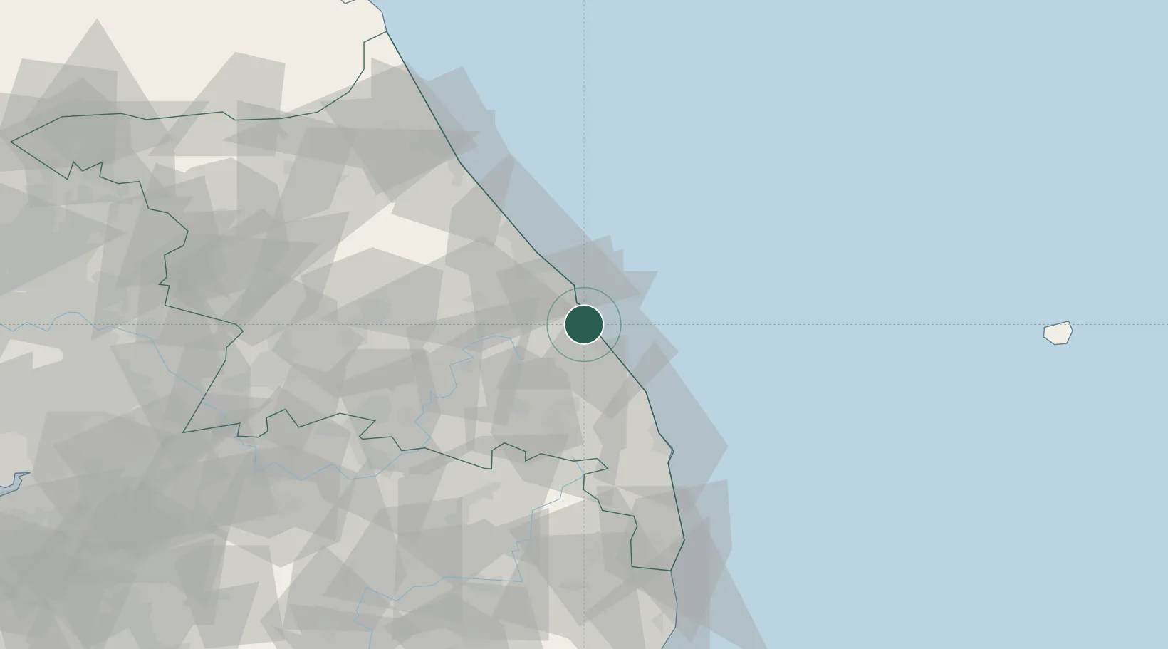
Nearby Logistics Neighbours

Cities
  1. 1Mukho/Donghae0 km
  2. 2Bupyong/Incheon5 km
  3. 3Donghae6 km
  4. 4Okgye/Gangneung10 km
  5. 5Samcheok13 km
Nearest neighbours — logibook spatial index (haversine) over the source coordinates
Ports
  1. 1Mukho4 km
  2. 2Sokch'o Hang86 km
  3. 3Pohang167 km
  4. 4Pyeongtaek Hang212 km
  5. 5Inchon219 km
Nearest neighbours — logibook spatial index (haversine) over the source coordinates
Airports
  1. 1Gangneung Airport (K-18)28 km
  2. 2Yangyang International Airport70 km
  3. 3Wonju Airport / Hoengseong Air Base (K-38/K-46)101 km
  4. 4Yecheon Airbase121 km
  5. 5Jungwon Air Base/Chungju Airport121 km
Nearest neighbours — logibook spatial index (haversine) over the source coordinates
DatabookThe Record of Consolidated Knowledge
South Korea beyond logistics?
Browse databook

All Sources

LocationsUN/LOCODE
UN/LOCODE — free
Portsthe NGA World Port Index
Public domain (US gov)
AirportsOurAirports
Public domain
Trade Zonesthe World Bank SEZ database
CC BY 4.0
Trade ZonesOpen Zone Map
CC BY
← South Korea locations