Diversified Zone · China

Chongren Industrial Park Active
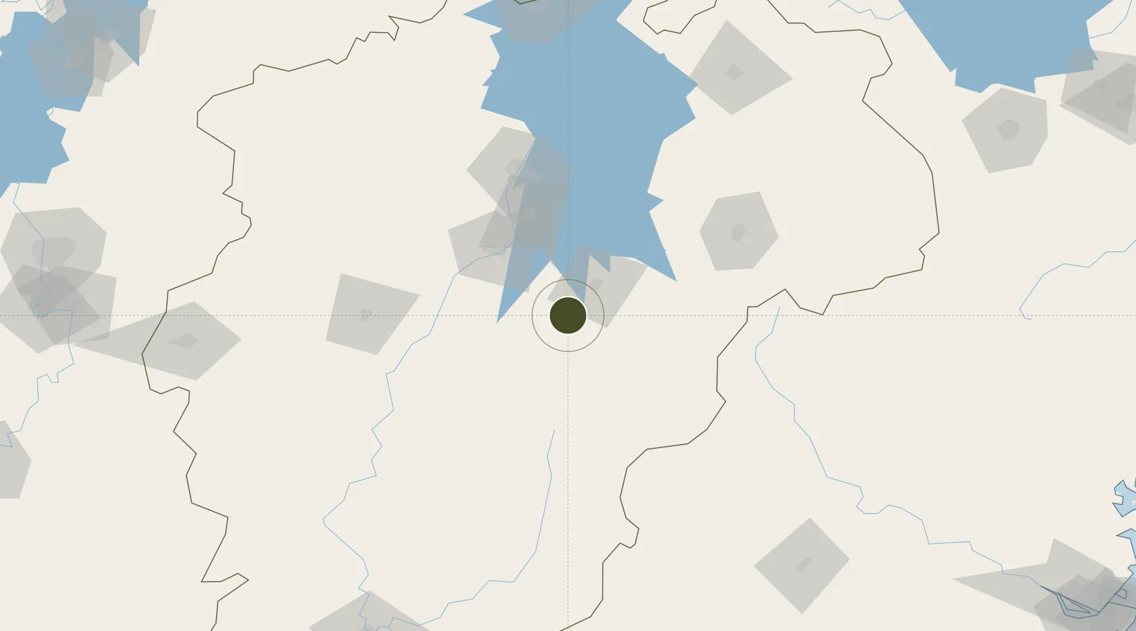
27.8115°, 116.1840°
500 ha
Zone area
359.2 km
Nearest port
66.6 km
Nearest airport

Gateway access

Nearest neighbours — logibook spatial index (haversine) over the source coordinates

Zone profile

Zone type
Diversified Zone
Open Zone Map
Region
Jiangxi
Open Zone Map
Status
Active
Open Zone Map
Management
Public
Open Zone Map
Operator
Chongren Industrial Park Management Committee
Open Zone Map
Legal framework
Construction began in May 1996
Open Zone Map

Location

Location of ozm-540
Natural Earth 10m (public domain) · Jiangxi · ozm-540 · 27.81, 116.18GoogleOSMYandex

Nearby Logistics Neighbours

Ports
  1. 1Hankow359 km
  2. 2Fuzhou364 km
  3. 3Zhangzhou399 km
  4. 4Xiuyu400 km
  5. 5Quanzhou405 km
Nearest neighbours — logibook spatial index (haversine) over the source coordinates
Airports
  1. 1Zhangshu Air Base67 km
  2. 2Nanchang Xiangtang Air Base73 km
  3. 3Nanchang Changbei International Airport120 km
  4. 4Jinggangshan Airport178 km
  5. 5Nanping Wuyishan Airport179 km
Nearest neighbours — logibook spatial index (haversine) over the source coordinates
Cities
  1. 1Fuzhou42 km
  2. 2Yingtan100 km
  3. 3Xinyu123 km
  4. 4Xili165 km
  5. 5Jingdezhen192 km
Nearest neighbours — logibook spatial index (haversine) over the source coordinates
Trade Zones
  1. 1Yihuang Industrial Park18 km
  2. 2Fubei Industrial Park26 km
  3. 3Fubei Industrial Zone26 km
  4. 4Fuzhou Jinchao Economic Development Zone26 km
  5. 5Jinxi Industrial Park59 km
Nearest neighbours — logibook spatial index (haversine) over the source coordinates
DatabookThe Record of Consolidated Knowledge
China beyond logistics?
Browse databook

All Sources

Trade ZonesOpen Zone Map
CC BY
Portsthe NGA World Port Index
Public domain (US gov)
AirportsOurAirports
Public domain
LocationsUN/LOCODE
UN/LOCODE — free
← China trade zones