Export Processing Zone · China

Yihuang Industrial Park Active
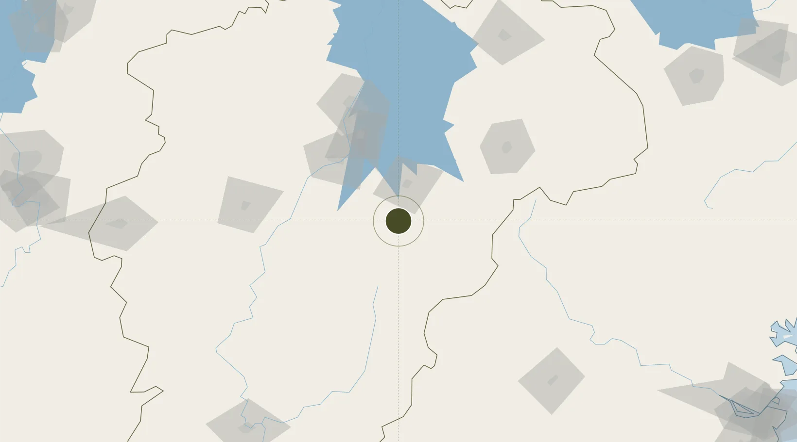
27.6764°, 116.2811°
970 ha
Zone area
347.9 km
Nearest port
81.6 km
Nearest airport

Gateway access

Nearest neighbours — logibook spatial index (haversine) over the source coordinates

Zone profile

Zone type
Export Processing Zone
Open Zone Map
Region
Jiangxi
Open Zone Map
Status
Active
Open Zone Map
Management
Public
Open Zone Map
Operator
Working Committee of Yihuang Industrial Park
Open Zone Map
Legal framework
Work plan and development ideas for the Industrial park in 2020
Open Zone Map

Location

Location of ozm-1245
Natural Earth 10m (public domain) · Jiangxi · ozm-1245 · 27.68, 116.28GoogleOSMYandex

Nearby Logistics Neighbours

Ports
  1. 1Fuzhou348 km
  2. 2Hankow377 km
  3. 3Zhangzhou382 km
  4. 4Xiuyu382 km
  5. 5Quanzhou387 km
Nearest neighbours — logibook spatial index (haversine) over the source coordinates
Airports
  1. 1Zhangshu Air Base82 km
  2. 2Nanchang Xiangtang Air Base90 km
  3. 3Nanchang Changbei International Airport137 km
  4. 4Nanping Wuyishan Airport169 km
  5. 5Jinggangshan Airport178 km
Nearest neighbours — logibook spatial index (haversine) over the source coordinates
Cities
  1. 1Fuzhou55 km
  2. 2Yingtan101 km
  3. 3Xinyu133 km
  4. 4Xili148 km
  5. 5Nanping194 km
Nearest neighbours — logibook spatial index (haversine) over the source coordinates
Trade Zones
  1. 1Chongren Industrial Park18 km
  2. 2Fuzhou Jinchao Economic Development Zone34 km
  3. 3Fubei Industrial Park38 km
  4. 4Fubei Industrial Zone38 km
  5. 5Nanfeng Industrial Park54 km
Nearest neighbours — logibook spatial index (haversine) over the source coordinates
DatabookThe Record of Consolidated Knowledge
China beyond logistics?
Browse databook

All Sources

Trade ZonesOpen Zone Map
CC BY
Portsthe NGA World Port Index
Public domain (US gov)
AirportsOurAirports
Public domain
LocationsUN/LOCODE
UN/LOCODE — free
← China trade zones