Transport Functions
Rail
Road
Hub Profile
Place type
Provincial seat
Region
Central Serbia
Population
27,673
Time zone
Europe/Belgrade
Elevation
259 m
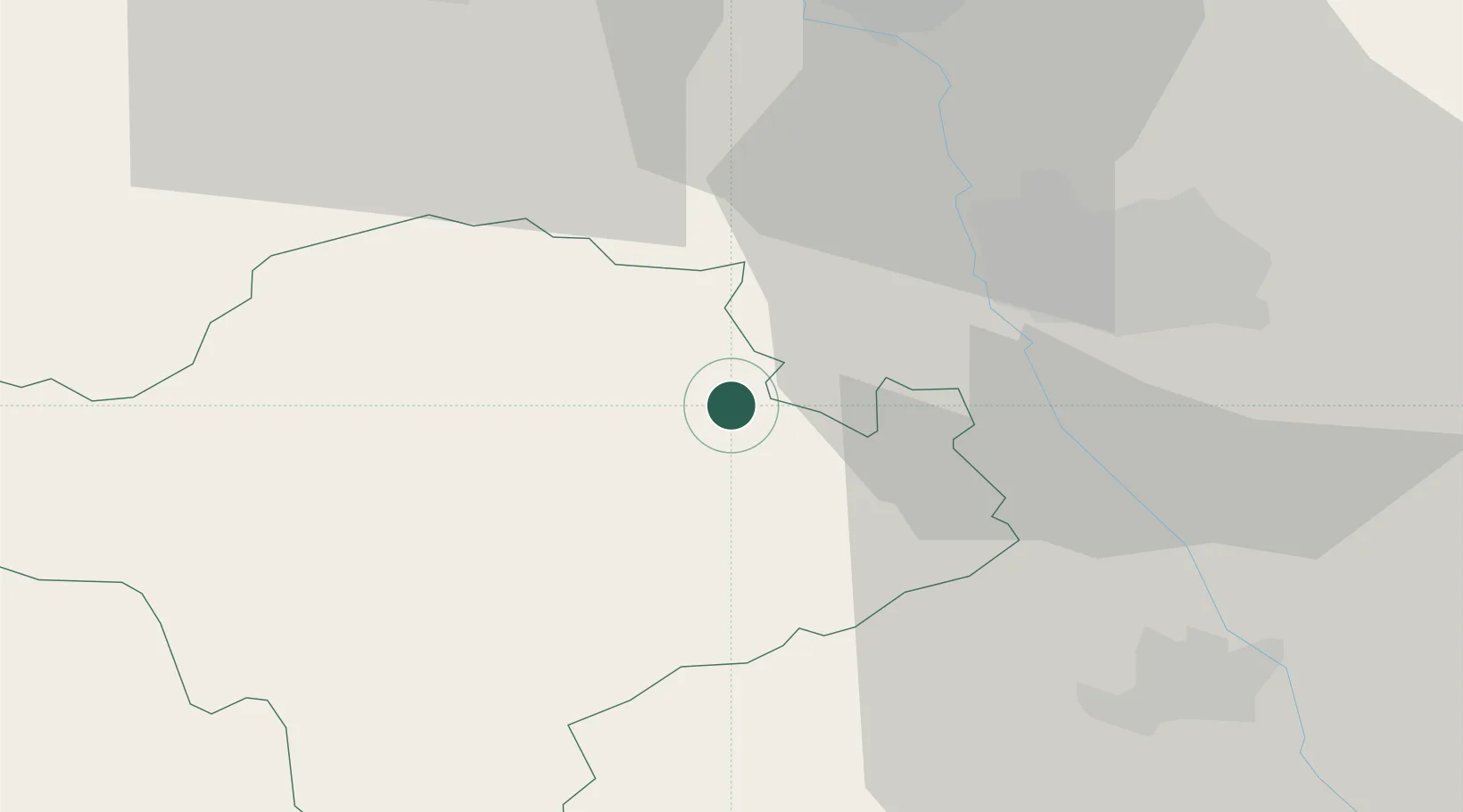
Location
Nearby Logistics Neighbours
Cities
- 1Nis24 km
- 2Kursumlija28 km
- 3Leskovac41 km
- 4Krusevac44 km
- 5Knjazevac65 km
Airports
- 1Niš Constantine the Great Airport25 km
- 2Priština Adem Jashari International Airport86 km
- 3Morava Airport103 km
- 4Skopje International Airport142 km
- 5Sofia Airport161 km
Trade Zones
DatabookThe Record of Consolidated Knowledge
Serbia beyond logistics?