Export Processing Zone · Kosovo

Business Park in Mirovicë Active
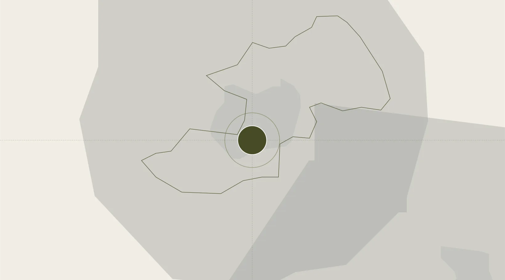
42.8812°, 20.8776°
4 ha
Zone area
158.2 km
Nearest port
36.7 km
Nearest airport

Gateway access

Nearest neighbours — logibook spatial index (haversine) over the source coordinates

Zone profile

Zone type
Export Processing Zone
Open Zone Map
Region
Kosovska Mitrovica
Open Zone Map
Status
Active
Open Zone Map
Management
Public
Open Zone Map
Operator
Ministry of Trade and Industry and the Municipality of Mitrovica
Open Zone Map
Legal framework
Law No. 04/L-159 on Economic Zones: Official Gazette of the Republic of Kosovo No. 6 / 12 March 2013
Open Zone Map

Location

Location of ozm-2664
Natural Earth 10m (public domain) · Kosovska Mitrovica · ozm-2664 · 42.88, 20.88GoogleOSMYandex

Nearby Logistics Neighbours

Ports
  1. 1Shengjin158 km
  2. 2Bar172 km
  3. 3Kotor180 km
  4. 4Risan183 km
  5. 5Tivat185 km
Nearest neighbours — logibook spatial index (haversine) over the source coordinates
Airports
  1. 1Priština Adem Jashari International Airport37 km
  2. 2Niš Constantine the Great Airport94 km
  3. 3Kukës International Airport101 km
  4. 4Morava Airport107 km
  5. 5Skopje International Airport120 km
Nearest neighbours — logibook spatial index (haversine) over the source coordinates
Cities
  1. 1Zvecan4 km
  2. 2Pristina34 km
  3. 3Kursumlija42 km
  4. 4Lipljan46 km
  5. 5Raska50 km
Nearest neighbours — logibook spatial index (haversine) over the source coordinates
Trade Zones
  1. 1Industrial Park in Mitrovica2 km
  2. 2Free Economic Zone in Mitrovica2 km
  3. 3Business Park in Vushtrri16 km
  4. 4Technological Business Park in Skënderaj17 km
  5. 5Business Park in Drenas32 km
Nearest neighbours — logibook spatial index (haversine) over the source coordinates
DatabookThe Record of Consolidated Knowledge
Kosovo beyond logistics?
Browse databook

All Sources

Trade ZonesOpen Zone Map
CC BY
Portsthe NGA World Port Index
Public domain (US gov)
AirportsOurAirports
Public domain
LocationsUN/LOCODE
UN/LOCODE — free
← Kosovo trade zones