Specialized Zone · Philippines

The Central District IT Park Under Development
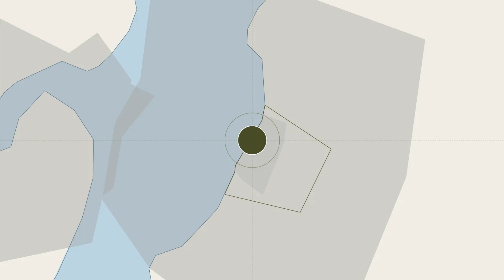
10.6931°, 122.9584°
11 ha
Zone area
26.2 km
Nearest port
11.4 km
Nearest airport

Gateway access

Nearest neighbours — logibook spatial index (haversine) over the source coordinates

Zone profile

Zone type
Specialized Zone
Open Zone Map
Specialization
IT
Open Zone Map
Region
Bacolod
Open Zone Map
Status
Under Development
Open Zone Map
Management
Private
Open Zone Map
Operator
Proxima Centuari Realty and Development Corporation
Open Zone Map
Legal framework
Special Economic Zone Act (Republic Act No. 7916) (as amended by Republic Act No. 8748)
Open Zone Map

Location

Location of ozm-3836
Natural Earth 10m (public domain) · Bacolod · ozm-3836 · 10.69, 122.96GoogleOSMYandex

Nearby Logistics Neighbours

Ports
  1. 1Pulupandan26 km
  2. 2Iloilo41 km
  3. 3San Carlos55 km
  4. 4Toledo82 km
  5. 5Port Capiz104 km
Nearest neighbours — logibook spatial index (haversine) over the source coordinates
Airports
  1. 1Bacolod-Silay International Airport11 km
  2. 2Iloilo International Airport53 km
  3. 3Roxas Airport103 km
  4. 4Evelio Javier Airport112 km
  5. 5Mactan Cebu International Airport120 km
Nearest neighbours — logibook spatial index (haversine) over the source coordinates
Cities
  1. 1Bacolod, Negros3 km
  2. 2La Carlota31 km
  3. 3Iloilo, Panay41 km
  4. 4Ajuy53 km
  5. 5Himamaylan, Negros69 km
Nearest neighbours — logibook spatial index (haversine) over the source coordinates
Trade Zones
  1. 1Two Sanparq0 km
  2. 2Lopues Mandalagan IT Center0 km
  3. 3T.U. Building1 km
  4. 4Monfort Information Technology Building1 km
  5. 5Ayala Bacolod Capitol Corporate Center2 km
Nearest neighbours — logibook spatial index (haversine) over the source coordinates
DatabookThe Record of Consolidated Knowledge
Philippines beyond logistics?
Browse databook

All Sources

Trade ZonesOpen Zone Map
CC BY
Portsthe NGA World Port Index
Public domain (US gov)
AirportsOurAirports
Public domain
LocationsUN/LOCODE
UN/LOCODE — free
← Philippines trade zones