Specialized Zone · Philippines

Monfort Information Technology Building Active
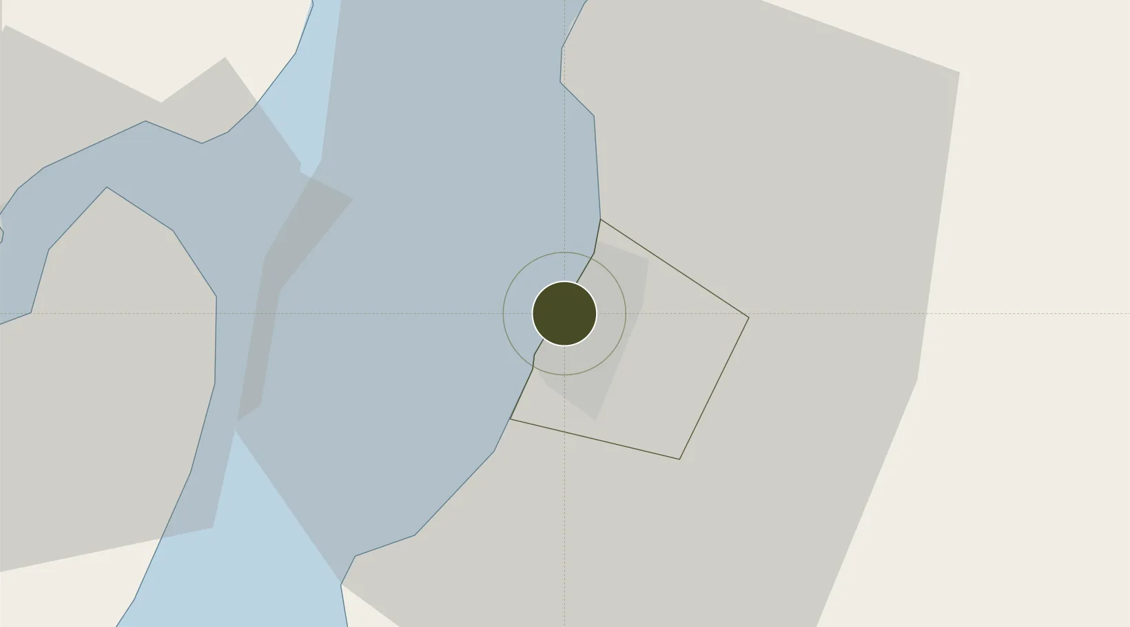
10.6834°, 122.9537°
1 ha
Zone area
25.0 km
Nearest port
12.5 km
Nearest airport

Gateway access

Nearest neighbours — logibook spatial index (haversine) over the source coordinates

Zone profile

Zone type
Specialized Zone
Open Zone Map
Specialization
IT
Open Zone Map
Region
Bacolod
Open Zone Map
Status
Active
Open Zone Map
Management
Private
Open Zone Map
Operator
Monfort Motor Center Corp,
Open Zone Map
Legal framework
Special Economic Zone Act (Republic Act No. 7916) (as amended by Republic Act No. 8748)
Open Zone Map

Location

Location of ozm-3651
Natural Earth 10m (public domain) · Bacolod · ozm-3651 · 10.68, 122.95GoogleOSMYandex

Nearby Logistics Neighbours

Ports
  1. 1Pulupandan25 km
  2. 2Iloilo41 km
  3. 3San Carlos55 km
  4. 4Toledo82 km
  5. 5Port Capiz105 km
Nearest neighbours — logibook spatial index (haversine) over the source coordinates
Airports
  1. 1Bacolod-Silay International Airport13 km
  2. 2Iloilo International Airport53 km
  3. 3Roxas Airport104 km
  4. 4Evelio Javier Airport112 km
  5. 5Mactan Cebu International Airport120 km
Nearest neighbours — logibook spatial index (haversine) over the source coordinates
Cities
  1. 1Bacolod, Negros1 km
  2. 2La Carlota30 km
  3. 3Iloilo, Panay41 km
  4. 4Ajuy54 km
  5. 5Himamaylan, Negros67 km
Nearest neighbours — logibook spatial index (haversine) over the source coordinates
Trade Zones
  1. 1T.U. Building0 km
  2. 2Ayala Bacolod Capitol Corporate Center1 km
  3. 3Ayala Malls Capitol Central1 km
  4. 4Villa Angela Techno Park1 km
  5. 5The Central District IT Park1 km
Nearest neighbours — logibook spatial index (haversine) over the source coordinates
DatabookThe Record of Consolidated Knowledge
Philippines beyond logistics?
Browse databook

All Sources

Trade ZonesOpen Zone Map
CC BY
Portsthe NGA World Port Index
Public domain (US gov)
AirportsOurAirports
Public domain
LocationsUN/LOCODE
UN/LOCODE — free
← Philippines trade zones