Specialized Zone · Philippines

Hi Response IT Center Under Development
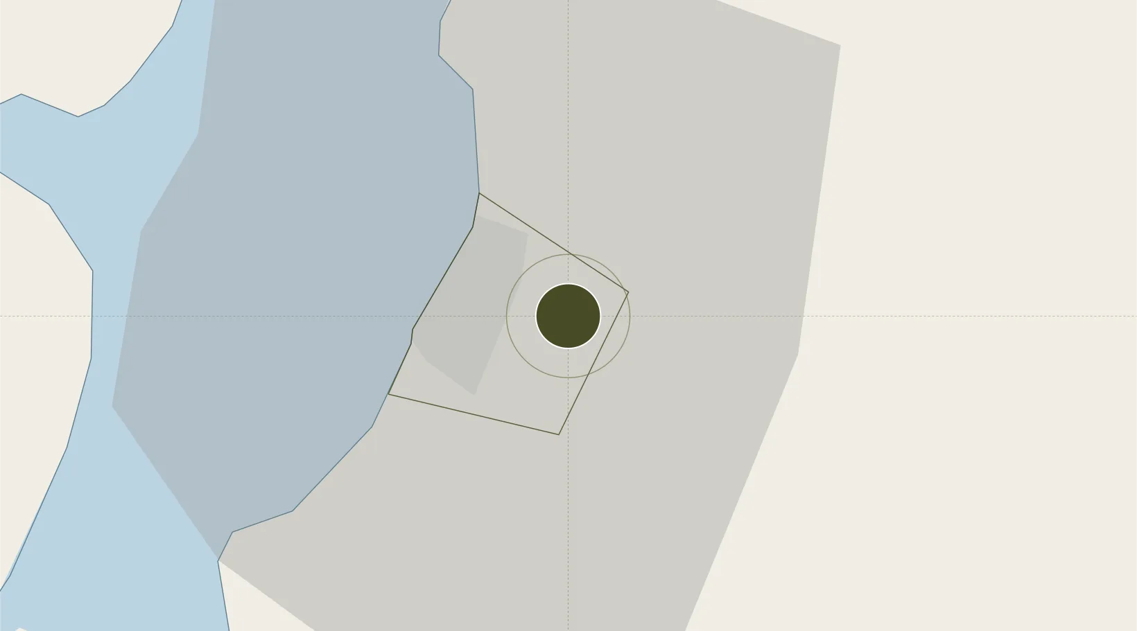
10.6662°, 123.0308°
0 ha
Zone area
30.2 km
Nearest port
12.3 km
Nearest airport

Gateway access

Nearest neighbours — logibook spatial index (haversine) over the source coordinates

Zone profile

Zone type
Specialized Zone
Open Zone Map
Specialization
Tech
Open Zone Map
Region
Bacolod
Open Zone Map
Status
Under Development
Open Zone Map
Management
Private
Open Zone Map
Operator
Home-Invest Realty Ventures, Inc.
Open Zone Map
Legal framework
Special Economic Zone Act (Republic Act No. 7916) (as amended by Republic Act No. 8748)
Open Zone Map

Location

Location of ozm-3879
Natural Earth 10m (public domain) · Bacolod · ozm-3879 · 10.67, 123.03GoogleOSMYandex

Nearby Logistics Neighbours

Ports
  1. 1Pulupandan30 km
  2. 2San Carlos47 km
  3. 3Iloilo49 km
  4. 4Toledo74 km
  5. 5Cebu103 km
Nearest neighbours — logibook spatial index (haversine) over the source coordinates
Airports
  1. 1Bacolod-Silay International Airport12 km
  2. 2Iloilo International Airport62 km
  3. 3Roxas Airport108 km
  4. 4Mactan Cebu International Airport111 km
  5. 5Evelio Javier Airport121 km
Nearest neighbours — logibook spatial index (haversine) over the source coordinates
Cities
  1. 1Bacolod, Negros10 km
  2. 2La Carlota30 km
  3. 3Iloilo, Panay49 km
  4. 4Ajuy56 km
  5. 5Guihulngan67 km
Nearest neighbours — logibook spatial index (haversine) over the source coordinates
Trade Zones
  1. 1Bayawan City Information Technology Park5 km
  2. 2Bacolod IT Park5 km
  3. 3Lopues South Square IT Park7 km
  4. 4Lopues East I. T. Center7 km
  5. 5T.U. Building8 km
Nearest neighbours — logibook spatial index (haversine) over the source coordinates
DatabookThe Record of Consolidated Knowledge
Philippines beyond logistics?
Browse databook

All Sources

Trade ZonesOpen Zone Map
CC BY
Portsthe NGA World Port Index
Public domain (US gov)
AirportsOurAirports
Public domain
LocationsUN/LOCODE
UN/LOCODE — free
← Philippines trade zones