Specialized Zone · Philippines

UPLB Information Technology Park Active
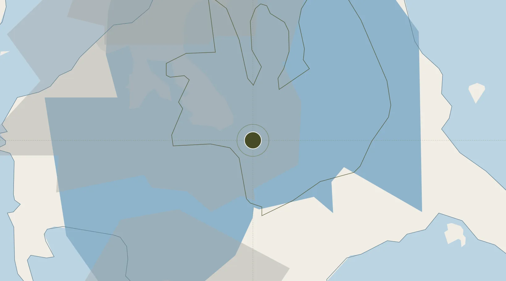
14.1584°, 121.2408°
8 ha
Zone area
49.9 km
Nearest port
45.6 km
Nearest airport

Gateway access

Nearest neighbours — logibook spatial index (haversine) over the source coordinates

Zone profile

Zone type
Specialized Zone
Open Zone Map
Specialization
IT
Open Zone Map
Region
Laguna
Open Zone Map
Status
Active
Open Zone Map
Management
Public
Open Zone Map
Operator
University of the Philippines Los Baños
Open Zone Map
Legal framework
Special Economic Zone Act (Republic Act No. 7916) (as amended by Republic Act No. 8748)
Open Zone Map

Location

Location of ozm-3819
Natural Earth 10m (public domain) · Laguna · ozm-3819 · 14.16, 121.24GoogleOSMYandex

Nearby Logistics Neighbours

Ports
  1. 1Batangas City50 km
  2. 2Manila56 km
  3. 3Nasugbu68 km
  4. 4Calapan83 km
  5. 5Mariveles87 km
Nearest neighbours — logibook spatial index (haversine) over the source coordinates
Airports
  1. 1Ninoy Aquino International Airport46 km
  2. 2Danilo Atienza Air Base52 km
  3. 3Marinduque Airport109 km
  4. 4Mamburao Airport126 km
  5. 5Subic Bay International Airport / Naval Air Station Cubi Point126 km
Nearest neighbours — logibook spatial index (haversine) over the source coordinates
Cities
  1. 1Camarines Norte/Jose Panganiban12 km
  2. 2Tanauan14 km
  3. 3Canlubang17 km
  4. 4Biñan26 km
  5. 5Candelaria33 km
Nearest neighbours — logibook spatial index (haversine) over the source coordinates
Trade Zones
  1. 1UPLB Agro-Industial Park1 km
  2. 2LB Centtro1 km
  3. 3Spring Forest Privado6 km
  4. 4Light Industry & Science Park III10 km
  5. 5Sto. Tomas Economic Zone10 km
Nearest neighbours — logibook spatial index (haversine) over the source coordinates
DatabookThe Record of Consolidated Knowledge
Philippines beyond logistics?
Browse databook

All Sources

Trade ZonesOpen Zone Map
CC BY
Portsthe NGA World Port Index
Public domain (US gov)
AirportsOurAirports
Public domain
LocationsUN/LOCODE
UN/LOCODE — free
← Philippines trade zones