Specialized Zone · Philippines

Spring Forest Privado Active
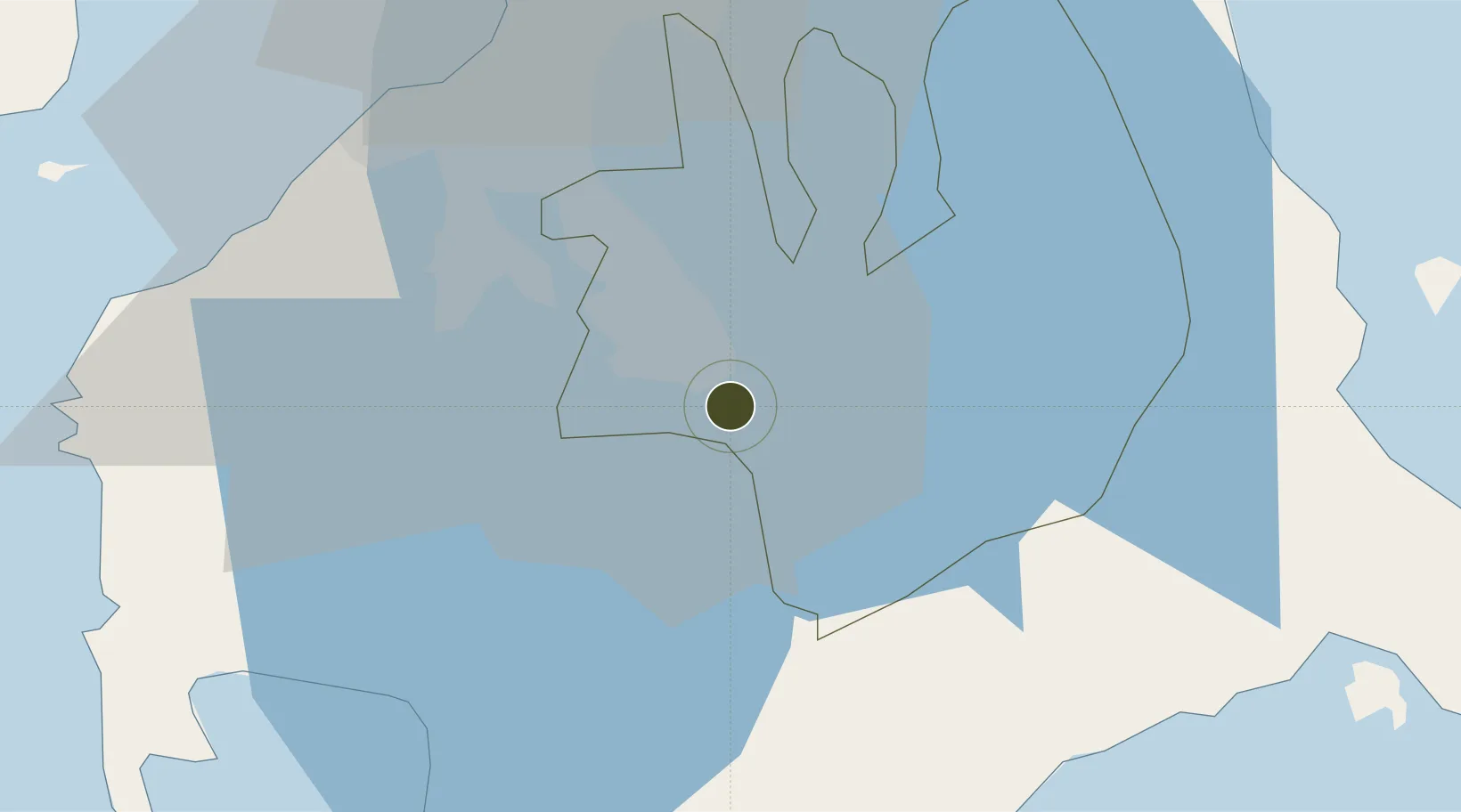
14.1727°, 121.1854°
5 ha
Zone area
49.2 km
Nearest port
41.4 km
Nearest airport

Gateway access

Nearest neighbours — logibook spatial index (haversine) over the source coordinates

Zone profile

Zone type
Specialized Zone
Open Zone Map
Specialization
Tourism
Open Zone Map
Region
Laguna
Open Zone Map
Status
Active
Open Zone Map
Management
Private
Open Zone Map
Operator
GRCanon Development Group Unlimited, Inc
Open Zone Map
Legal framework
Special Economic Zone Act (Republic Act No. 7916) (as amended by Republic Act No. 8748)
Open Zone Map

Location

Location of ozm-3910
Natural Earth 10m (public domain) · Laguna · ozm-3910 · 14.17, 121.19GoogleOSMYandex

Nearby Logistics Neighbours

Ports
  1. 1Batangas City49 km
  2. 2Manila51 km
  3. 3Nasugbu62 km
  4. 4Mariveles81 km
  5. 5Calapan84 km
Nearest neighbours — logibook spatial index (haversine) over the source coordinates
Airports
  1. 1Ninoy Aquino International Airport41 km
  2. 2Danilo Atienza Air Base47 km
  3. 3Marinduque Airport114 km
  4. 4Subic Bay International Airport / Naval Air Station Cubi Point120 km
  5. 5Lubang Airport122 km
Nearest neighbours — logibook spatial index (haversine) over the source coordinates
Cities
  1. 1Camarines Norte/Jose Panganiban7 km
  2. 2Canlubang10 km
  3. 3Tanauan12 km
  4. 4Biñan21 km
  5. 5Batangas/Luzon33 km
Nearest neighbours — logibook spatial index (haversine) over the source coordinates
Trade Zones
  1. 1Light Industry & Science Park II4 km
  2. 2YTMI Realty Special Economic Zone5 km
  3. 3Light Industry & Science Park III6 km
  4. 4Allegis IT Park6 km
  5. 5UPLB Agro-Industial Park6 km
Nearest neighbours — logibook spatial index (haversine) over the source coordinates
DatabookThe Record of Consolidated Knowledge
Philippines beyond logistics?
Browse databook

All Sources

Trade ZonesOpen Zone Map
CC BY
Portsthe NGA World Port Index
Public domain (US gov)
AirportsOurAirports
Public domain
LocationsUN/LOCODE
UN/LOCODE — free
← Philippines trade zones