Specialized Zone · Philippines
Ali Mall IT Building Under Development
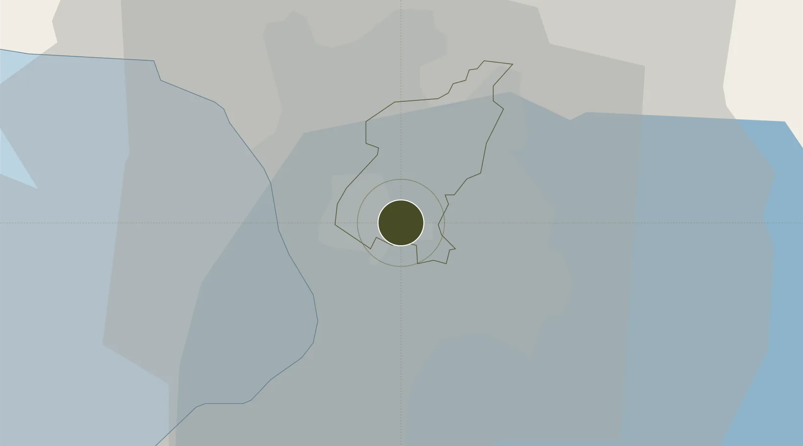
14.6196°, 121.0565°
6 ha
Zone area
10.5 km
Nearest port
13.0 km
Nearest airport
Gateway access
Zone profile
Zone type
Specialized Zone
Specialization
IT
Region
Quezon City
Status
Under Development
Management
Private
Operator
Araneta Center, Inc.
Legal framework
Special Economic Zone Act (Republic Act No. 7916) (as amended by Republic Act No. 8748)
Location
Nearby Logistics Neighbours
Ports
- 1Manila11 km
- 2Mariveles65 km
- 3Nasugbu76 km
- 4Subic Bay87 km
- 5Batangas City97 km
Airports
Cities
- 1Muntinlupa City1 km
- 2Libis2 km
- 3San Juan3 km
- 4Quezon City3 km
- 5Philippines7 km
Trade Zones
- 1Spark Place0 km
- 2Cyber Park Building One0 km
- 3Manhattan Plaza Area0 km
- 4Harvester Corporate Center0 km
- 5Araneta Cyber Park0 km
DatabookThe Record of Consolidated Knowledge
Philippines beyond logistics?